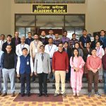
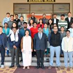
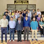
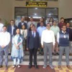
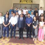
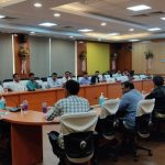
NESAC regularly conducts training to impart and spread awareness in the field of Remote Sensing & GIS. Two regular courses are conducted once in a year :
Basic Course in Remote Sensing & GIS
This 2 weeks course is conducted during March-April and caters to students/researchers and government user departments in the region. The course will mainly emphasize on overall understanding of basic concepts, modelling technological trends, applications and the utilization of Geospatial technology for Natural Resources Management, Urban and Infrastructure Planning, Location based services, Utilities Management, etc.
Advance Course on UAV Remote Sensing and Technological Advances
This course will be open during Sept-Oct of every year. The course will mainly emphasis on the basic of UAV operations, technologies and modes of data acquisition. The processing of UAV acquired imagery for deriving various products such as ortho-rectified imagery, Digital Surface and Elevation models and 3D reconstruction of surface etc.

