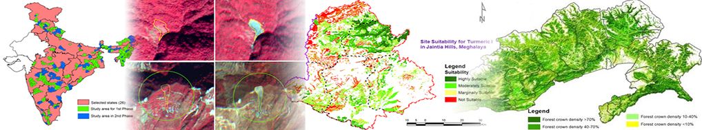
Use of unmanned aerial vehicles (UAV) has added new dimensions and possibilities for very high resolution mapping and monitoring agriculture resources. A number of surveys have been carried out for crop area assessment, crop damage assessment and crop growth monitoring. Farmers from Morigaon and Nagaon districts of Assam got a major shock during the month of April, 2016, when they encountered severe pest infestation in their Boro paddy (summer paddy) areas, which was very unusual for them. Considering the severity of pest infestation and the spread, it was planned to conduct a rapid assessment of extent of crop damage through a UAV. The assessment report was provided to the concerned department to take immediate intervention measures. The survey also helped the District Agriculture Department to visualize and assess the extent of damage to provide compensation for the affected farmers. It has been realized that these information will provide valuable inputs to ‘Pradhanmantri Fasal Bima Yojana’ and KISAN (Crop Insurance using Space Technology and Geoinformatics) Programme which have emphasized on use of mobile and satellite technology including UAVs to facilitate accurate assessment and quick settlement of claims for insured crops.
Another exercise was conducted for digital mapping of the individual households and farms in conjunction with socio-economic survey at household level in association with Directorate of Economics and Statistics, Government of Meghalaya as per NSSO guidelines. Socio-economic indicators on education, gender, poverty, housing, amenities, employment and agricultural farming have been evaluated for the village. Linking of each agricultural farms and crop lands to household information in GIS domain will form the basis for development of a Village Information System.
An exercise was carried out at Laskein development block in West Jaintia Hills district of Meghalaya for discrimination of horticultural crops considering the presence of multiple crop and mixed cropping in nature.
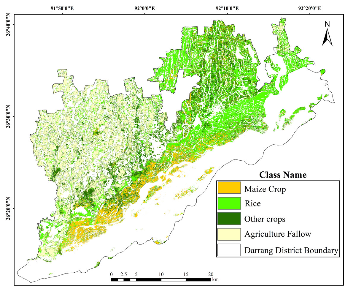
Discrimination of stressed maize crop from healthy maize crops using NDVI index in Kharupetia village of Darrang district of Assam has been undertaken using UAV borne multispectral sensors.
UAV surveys were conducted under CCE project by using multispectral and RGB sensors in selected sample locations covering different strata of rice ecosystems. The collected data were processed in Pix4D Mapper Software and various indices were generated to correlate with CCE field data. This has led to the development of yield models for yield assessment of the selected crops. These models require more trials and validation for operational use.
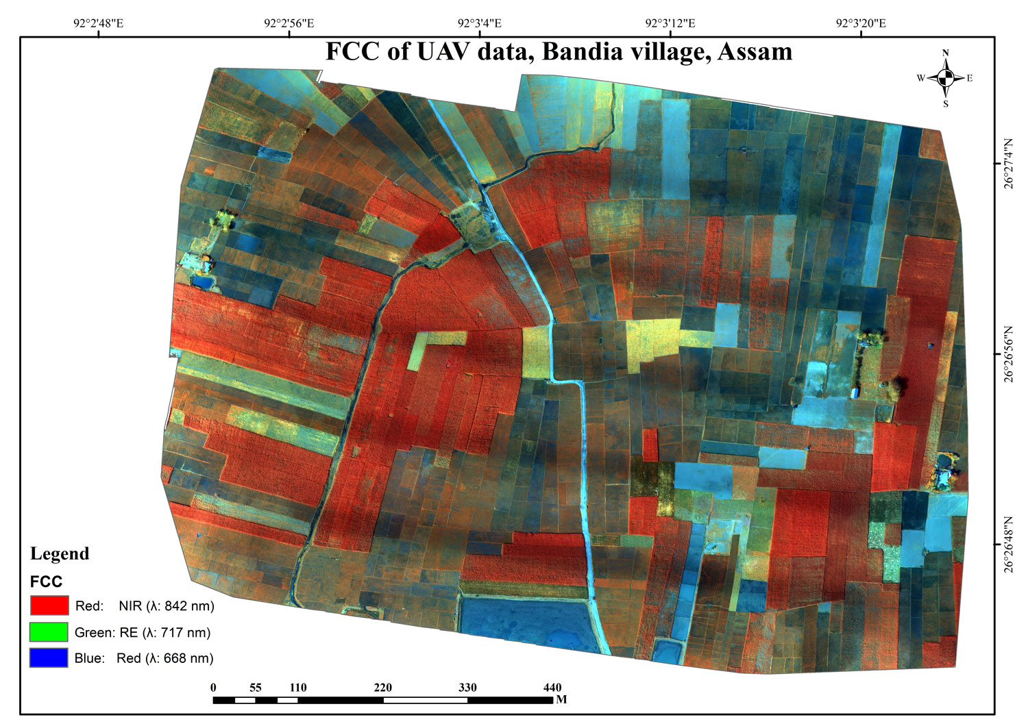
Systematic R&D through UAVs have been planned for the entire crop growth cycle in selected sites as a part of the regional project “Applications of Space Techniques for Agricultural Assessment in NER (ASAAN)” under PoA.
Integration of UAV based sensors and Field IoT sensors has been planned for automation of irrigation and health assessment of potato crop in selected locations of Assam.