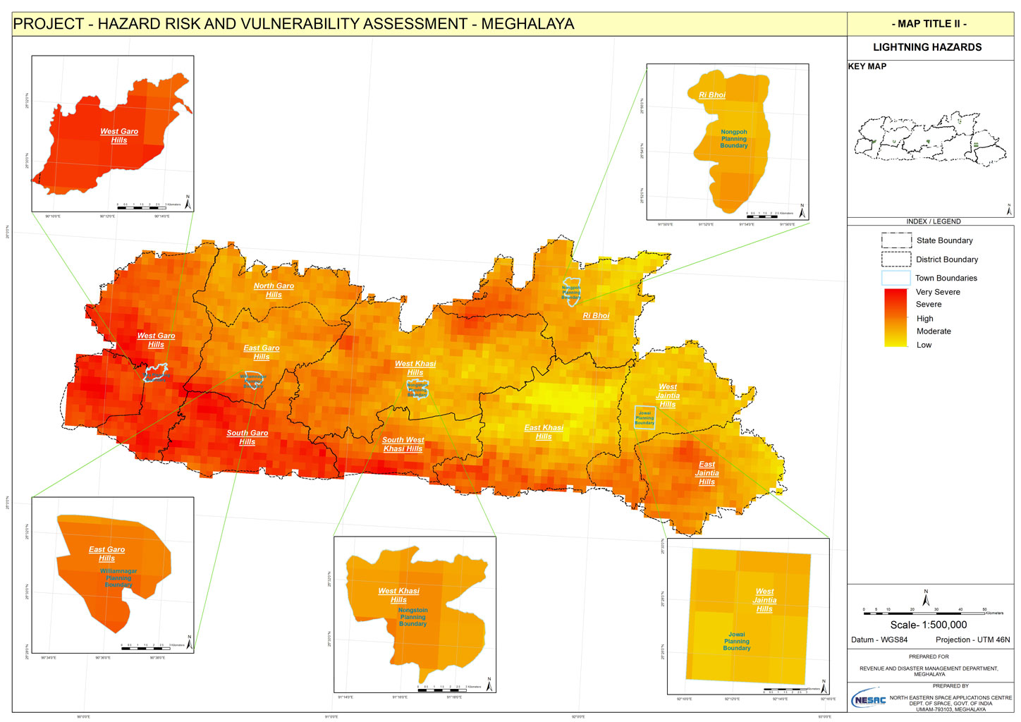
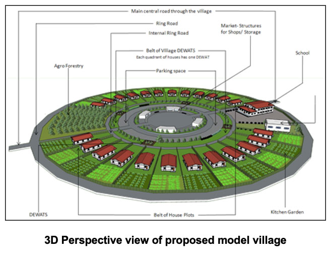
The Urban Applications primarily deal with designing and management of urban areas and its environment with all infrastructural amenities available ensuring the orderly development of settlements and communities. The team is involved in various national and state level projects. Apart from these the organization provides hand held support to local governments in penetration of space based technologies, geographical information systems (GIS) and the accompanying tools and to use these technologies as decision support system. Capacity building at national wide for urban planners of different levels has been conducted in the field of GIS based master plan preparation.
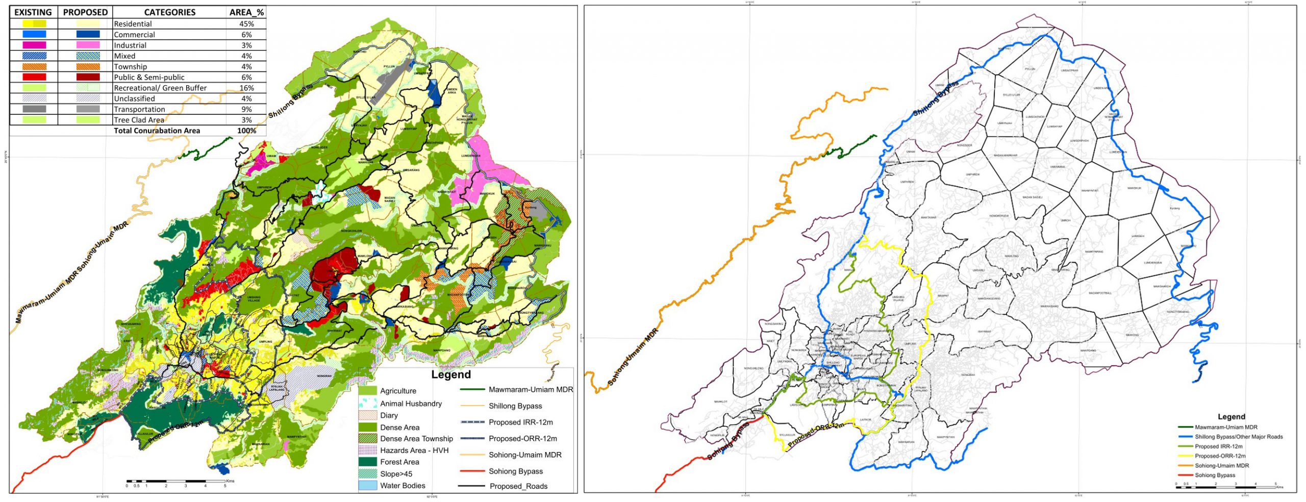
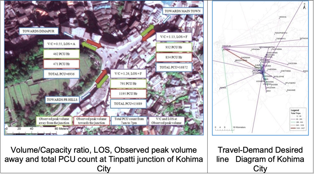
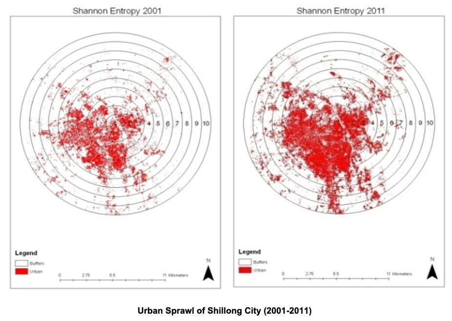
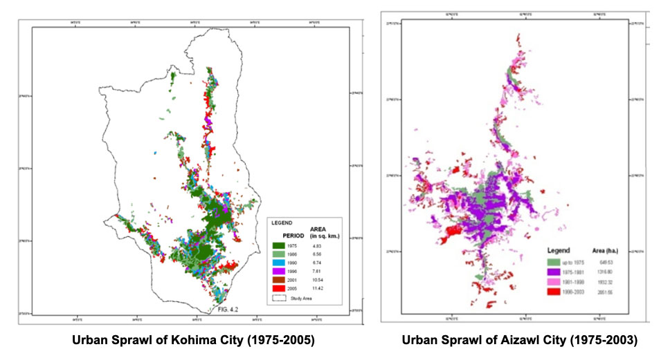
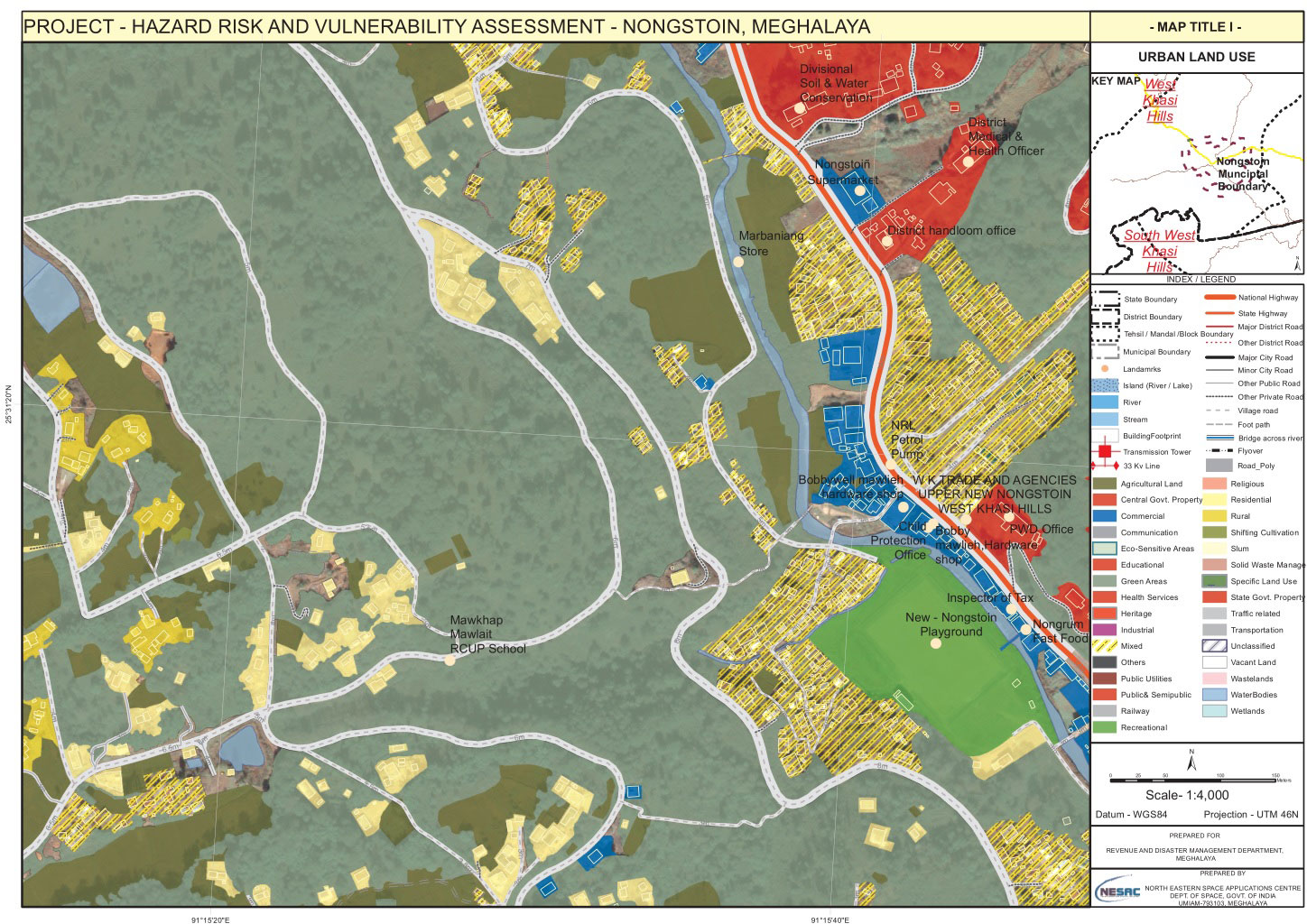
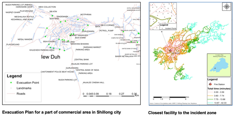
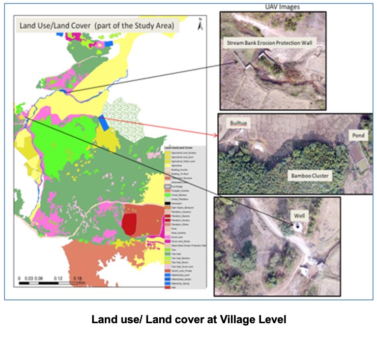
The Centre has been actively involved in Land Use/Land cover mapping and urban sprawl monitoring, urban infrastructure mapping, cadastral level mapping and updation using satellite and unmanned aerial vehicle data and has contributed in preparation of Master Plan / Rural Development Plan, Transportation Plan, Urban Site Suitability Analysis and Urban Environmental Planning and urban disaster management plan.