The imagery obtained from UAVs can immensely support in many applications ranging from large-scale mapping, disaster assessment, infrastructure planning, urban modeling to vegetation structure mapping. Specifically in the NE region of our country with limited connectivity and difficult terrain condition, the local planning and developmental activities can be greatly improved by the UAV survey. NESAC has conducted 60+ UAV surveys until the date to assist different line departments and research work in NER. NESAC has also facilitated all the State Remote Sensing Centres of NER in establishing UAV facility under the project “Use of Unmanned Aerial Vehicle (UAV) Remote Sensing (UAV-RS)) for the States of NE region (NER)” funded by NEC.
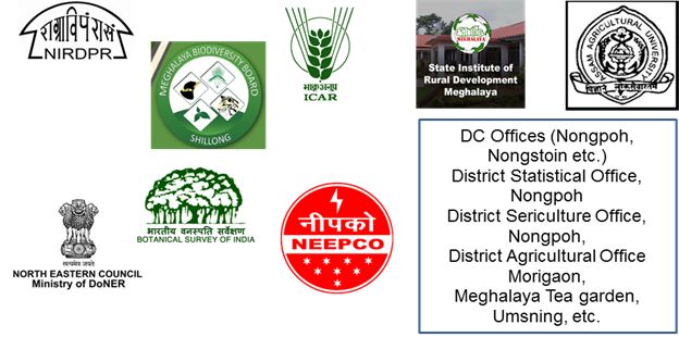
NESAC also conducts on demand surveys for different line departments to support their planning activities at a very nominal cost. Some of the user departments are as mentioned below :


