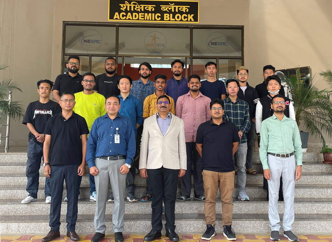
NESAC recently conducted a two-week course on “UAV Remote Sensing Technological Advances and Applications” as part of its capacity-building and outreach initiative. There were 16 participants in the course, who registered through the online portal. Jointly organized by the Geoinformatics and IT Division (GID) and the SATCOM and UAV Division (SUD), the course aimed to deepen understanding of UAV principles, components, and their applications in remote sensing.
The inaugural session commenced with a welcome from the Course Director, Shri Victor Saikhom, who outlined the objectives and structure of the course. Shri Sanjay Pandit, the Course Officer, concluded the opening ceremony with a vote of thanks.
The curriculum was comprehensive, covering the principles and components of UAVs, the various remote sensors used, and effective flight planning for data acquisition tailored to a range of remote sensing applications. Participants learned about different data processing techniques that enable the creation of high-resolution data products, including Orthomosaics, Digital Surface and Terrain Models, and 3D Textured Models, all of which are instrumental for research and development initiatives.


