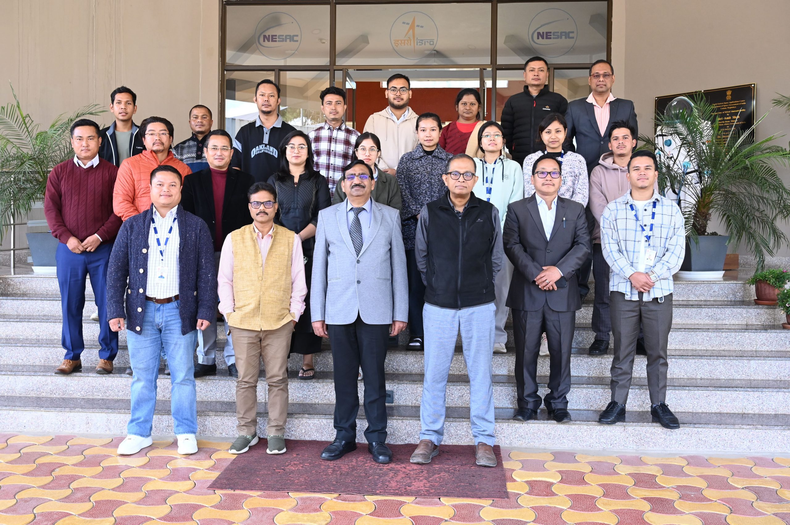
NESAC successfully conducts a two-weeks training on “Applications of Remote Sensing and GIS in Water Resources and Flood Management” during November 18-29, 2024 at the NESAC Outreach Facility. In total, 18 participants from government departments and academia from different parts of India attended the course.
The inaugural session on November 18, 2024 began with a welcome address by Dr. Diganta Barman, Head, WRD, followed by an overview of the course by Shri Shanbor Kurbah, Scientist/Engineer-SD and the Course Officer of the training. Dr. Lala I P Ray, Professor, CAU-CPGS, Umiam, graced the inaugural session as the Guest of honour. Shri. Ranjit Das, Scientist/Engineer-SF gave the formal vote of thanks at the end of the session.
The course included 14 theory classes and 10 practical sessions, covering topics from basic to advanced levels such as basic of remote sensing and GIS, hydrological modeling, hydrodynamic modeling, Dam break modeling, Watershed prioritization and basics of soil erosion estimation, Flood Early Warning System, Climate changes and its impact, LiDAR and microwave remote sensing. The use of HEC-HMS, QGIS, HEC-RAS, SNAP and GEE has also been introduced in the practical sessions.
A special lecture was taken by Director, NESAC, on “Space technology in climate change and disaster management”, which emphasized the importance of space technology in better understanding of the current trend of Climate and disaster related phenomena.
The course concluded with the valedictory program which was held on November 29, 2024. Shri Shanbor Kurbah, Course Officer, welcomed all the participants and summarized the two-week course. Dr. Diganta Barman, Course Director, addressed the participants, inspired and encouraged all to use these powerful technologies for their developmental planning and governance. The program was concluded with a vote of thanks offered by Shri. Ranjit Das, Scientist/Engineer SF.


