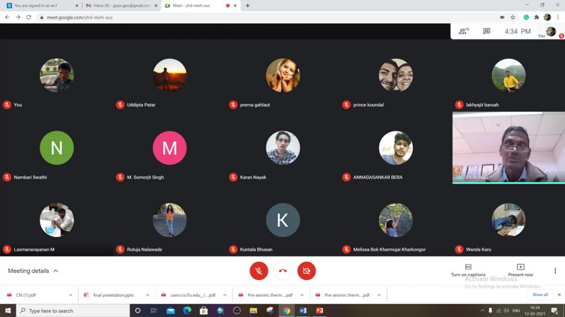
NESAC organized a one week online training course on ‘Applications of Remote Sensing & Geographic Information System in Geosciences’ during 8 – 12 February, 2021. The program was inaugurated by Shri PLN Raju, Director, NESAC. A total of 19 participants from various academic organizations and industries participated in the training program.
Shri M Somorjit Singh Sci/Engr. ‘SF’ was the Course Coordinator and Dr. Gopal Sharma Sci/Engr. ‘SD’ was the Course Officer of the training program. The course is conducted through google meet platform. The course consisted of a series of lectures followed by hands-on/practicals on the relevant topics The course was designed with a view to provide participants an understanding of the scientific concepts associated with remote sensing and its applications to various areas of Geoscience. During the concluding session a number of good feedbacks were received. Most of the participants suggested to have more number of hands-on using different softwares, orientation to live dashboards, geoportals, and modeling exercises etc.


