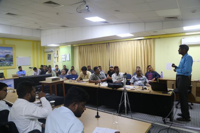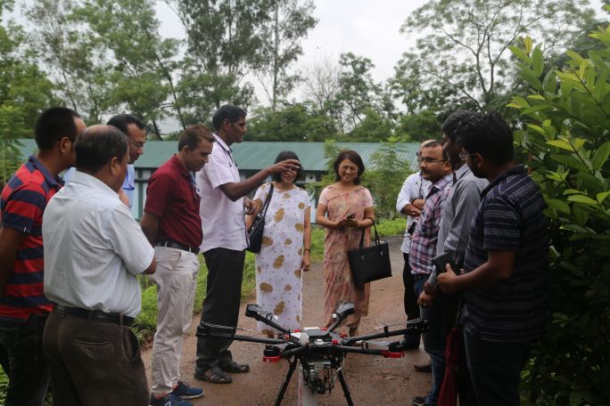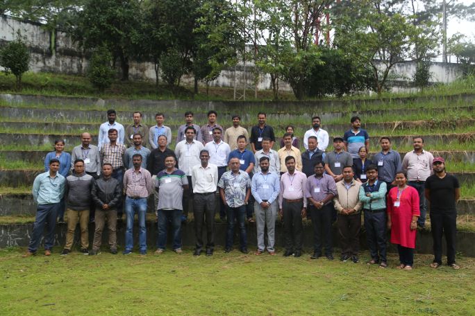
The Fourth two weeks training course on UAV Remote Sensing – Possible Applications & Future Advances was conducted by NESAC during Sep 16-27, 2019. The training course was attended by a total of 36 participants including students, research scholars and teachers from different colleges and universities and officials from various public/ private sectors of different part of the country. The course covered understanding of the UAVs and its components, flight planning for data acquisitions for various remote sensing applications, 3D printing & its application in UAV. It also covered different data processing techniques such as generation of Orthomosaic, digital surface model (DEM), digital terrain model (DTM), contour maps, volumetric analysis etc. for high-resolution UAV data processing using open source softwares, Pix4D mapper pro and Agisoft photoscan pro softwares. The course had 14 hours of lectures, 26 hours of practical work for the participants, one industry interface session and one day of field visit to capture UAV data with GCPs. The third and fourth day of the second week were dedicated towards mini-projects, which were executed in groups with different application based topics for each group. The valedictory function was graced by Shri Atanu Saha, Director S&T, North Eastern Council as the Chief Guest and Shri Manish Kumar Agrawal, Airport Director, Umroi Airport as the Guest of Honour