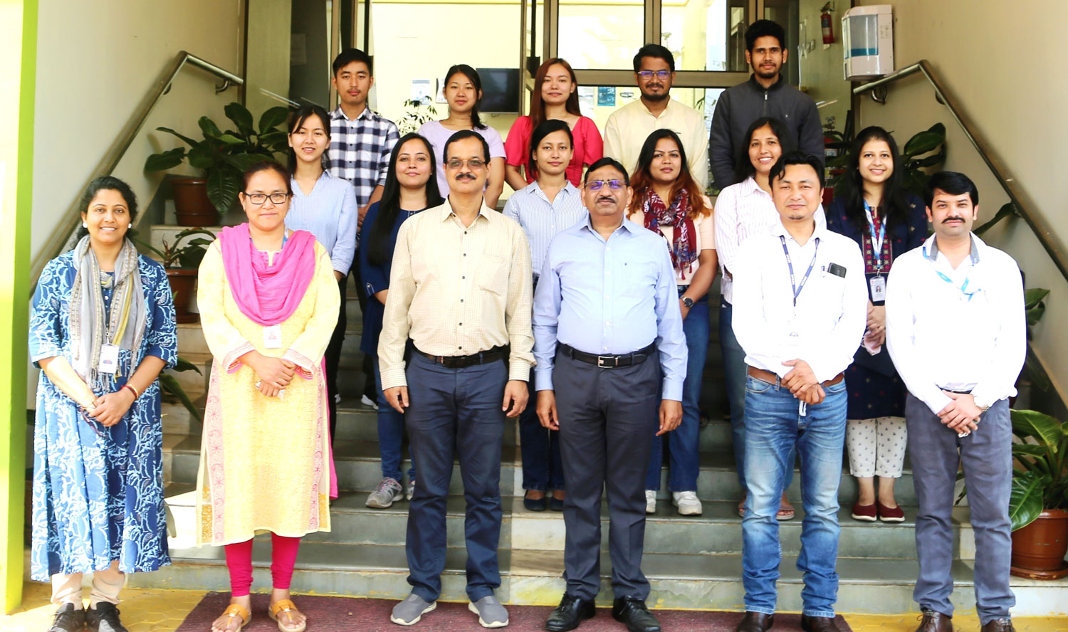
A short training programme on “Remote Sensing & GIS applications in Forestry & Ecology” for research scholars from Tezpur University, Assam, was organised during March 22 – March 26, 2022 at the NESAC Outreach Facility. A wide range of topics such as satellite image interpretation, GIS analysis, classification and accuracy assessment, GPS and Map projects, Growing stock and biomass estimation, Forest change detection and biodiversity monitoring, wild life habitat evaluation etc were covered during the training along with practical sessions. Dr. S.P. Aggarwal, Director, NESAC interacted with the trainees and discussed regarding their ongoing works and research investigations being planned using applications of geospatial techniques. A total of 10 trainees sponsored from Tezpur University attended the training program, which was coordinated by Dr Rocky Pebam, Scientist-SE, NESAC.
North Eastern Space Applications Centre
Government of India, Department of SpaceUmiam, Meghalaya