एनईसैक में 19 से 30 सितंबर, 2022 तक “यूएवी रिमोट सेंसिंग तकनीकी विकास और इसके अनुप्रयोग” पर दो सप्ताह का पाठ्यक्रम आयोजित किया गया। इस पाठ्यक्रम में भारत के विभिन्न राज्यों से विविध शैक्षणिक पृष्ठभूमि वाले कुल 21 प्रतिभागियों ने भाग लिया। पाठ्यक्रम विभिन्न रिमोट सेंसिंग अनुप्रयोगों के लिए उड़ान योजना और डेटा अधिग्रहण पर सैद्धांतिक और व्यवहारिक ज्ञान प्रदान करने पर केंद्रित है। एरियल मैपिंग, 3डी प्रिंटिंग और यूएवी में इसके अनुप्रयोग, विभिन्न डेटा प्रोसेसिंग तकनीकों, जैसे ऑर्थोमोजसिक, डिजिटल सर्फेस मॉडल (डीईएम), डिजिटल टेरेन मॉडल(डीटीएम), परिरेखा मानचित्र, वॉल्यूमैट्रिक विश्लेषण आदि पर ध्यान दिया। दो सप्ताह के पाठ्यक्रम में उड़ान सिम्युलेटर, मिशन योजना और अधिग्रहण, डाटा प्रोसेसिंग और विश्लेषण पर व्यापक व्यवहारिक सत्र भी शामिल थे। प्रतिभागियों ने कृषि, शहरी नियोजन, भू-विज्ञान और जल संसाधन जैसे चार अलग-अलग विषयगत क्षेत्रों में एक डोमेन विशेषज्ञ द्वारा सलाह दी गई दो दिवसीय छोटी परियोजना भी की।
Recent News
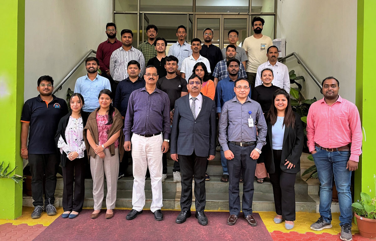
A customised two weeks course for the Indo German Development Cooperation funded project “Climate Resilience of Forest Ecosystems, Biodiversity & Adaptive Capacities of Forest Dependent Communities in Tripura” (CFEFLAT) supported by the Tripura Forest Department was organised during 21st April 2025 to 02nd May 2025 by the Forestry & Ecology Division. Twelve officials participated as the first batch of the training programme. The training focussed on the introductory lectures on basics concepts of remote sensing, GIS, image interpretations, map projections and digital image processing with emphasis on hands-on exercises on different aspects of forest cover and land use mapping.