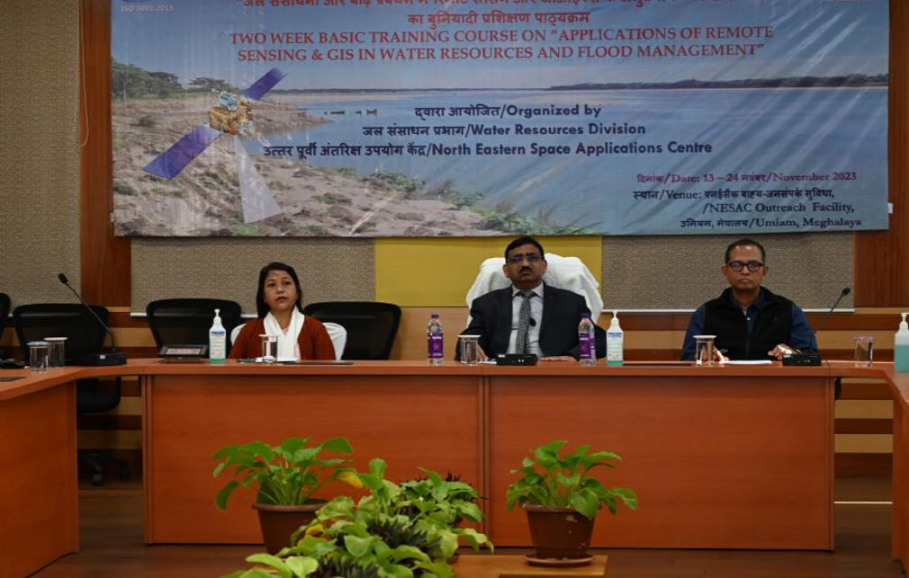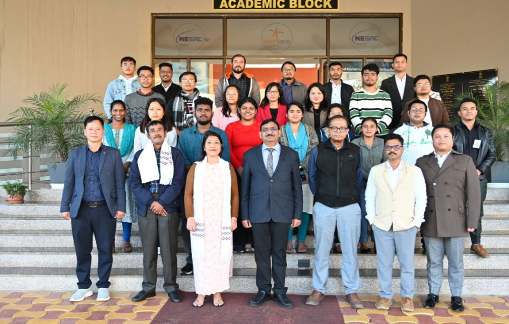
A two-week course on “Applications of Remote Sensing and GIS in Water Resources and Flood Management” was conducted from November 13-24, 2023 at the NESAC Outreach Facility. In total, 18 participants from government departments and academia from different parts of India attended the course. During the inaugural session, Dr. S.P. Aggarwal, Director, NESAC welcomed all the participants and gave a detailed insights of the course. The course was designed to provide a thorough understanding of the practical applications and intricacies of utilizing remote sensing and GIS technologies to monitor, analyze, and manage water resources, with a particular focus on flood management. The use of HEC-HMS, QGIS, HEC-RAS, SNAP and GEE has also been introduced in the practical sessions apart from 13 in depth theory sessions. The course concluded with the valedictory program held on November 24, 2023. Director, NESAC addressed the participants, inspired and encouraged all to use these powerful technologies for their developmental planning and governance. On this occasion, Chief Guest, Er. (Mrs) A D Blah, Chief Engineer, Meghalaya Water Resources Department spoke on the importance of geospatial technologies and congratulated the participants for their enthusiastic and active participation before presenting the course completion certificates to all the participants. The program concluded with a formal vote of thanks offered by Dr. Diganta Barman, Course Director & Head of Water Resources Division, NESAC.