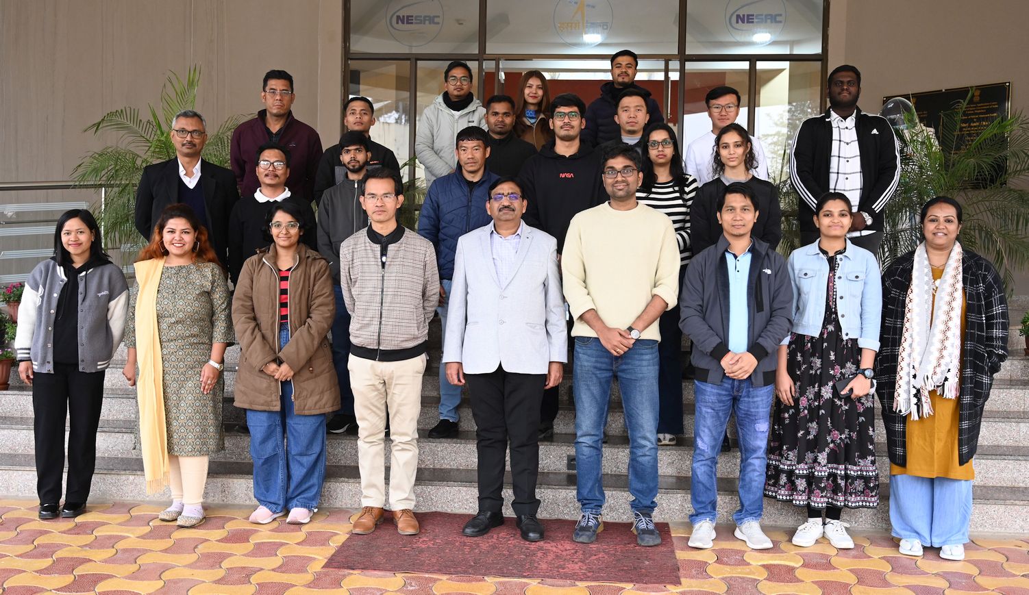
NESAC successfully conducted one-week training on “Basics of Geo Web Services & Spatial Data Analytics Platform using open-source tools” during January 20-24, 2025 at the NESAC Outreach Facility. In total, 18 participants from government departments, academia and industries from different parts of India attended the course.
The inaugural session was organised on January 20, 2025. The session began with a welcome address and course overview by Shri P S Singh, Course Director, followed by interaction with the participants. Shri. Nilay Nishant, Course Officer gave the formal vote of thanks at the end of the session.
The course comprised 11 hours of theoretical sessions and 13 hours of practical sessions. It covered foundational concepts in remote sensing and GIS, introduced the open-source technology stack for web GIS and mobile application development, and focused on utilizing open-source tools to create dashboards and mobile applications. The course concluded with in an overview of advanced topics on artificial intelligence and cloud computing.
The valedictory program which was held on January 24, 2025. Shri P S Singh, Course Director, welcomed all the participants and summarized the one-week course. This was followed by feedback from participants and certificate distribution. Dr. S P Aggarwal, Director, NESAC addressed the participants, inspired and encouraged all to use these powerful technologies for their developmental planning and governance. The program was concluded with a vote of thanks offered by Shri. Nilay Nishant, Course officer.