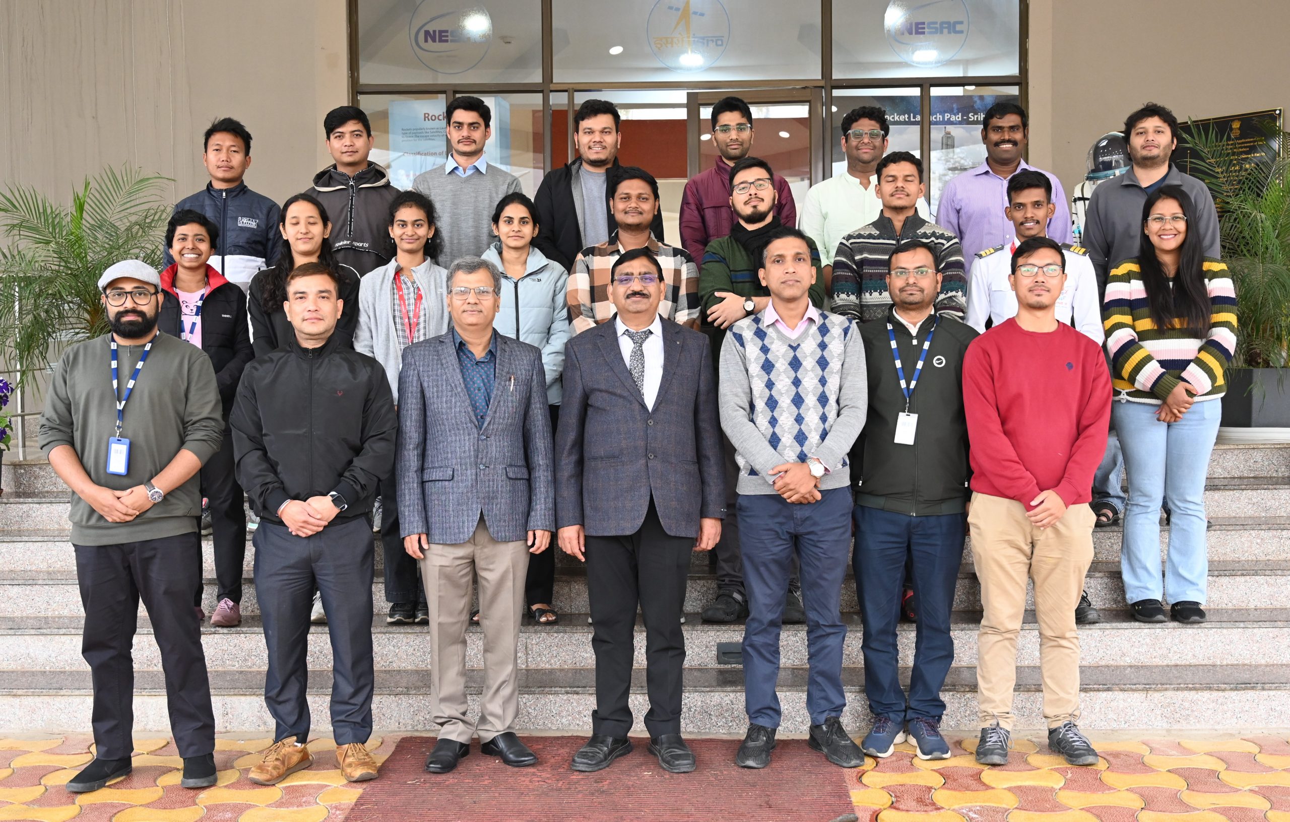
NESAC successfully organized a two-week course on “Space technology applications to study climate change and its impacts” during 11-22 March, 2024. The course was designed for the early career professionals and research scholars intending to work in the areas of climate change and its impact. 15 participants from different organizations attended the course including the National Institute of Hydrology, National Institute of Technology-Silchar, Indian Institute of Technology Guwahati, several Universities, and couple of private industries. The course included lectures, hands on sessions, and field visits. There were several invited lectures by senior faculties from IIT Guwahati, IITM Pune, SAC, NRSC, SPL, PRL, Guwahati University, and Dibrugarh University, along with lectures by NESAC faculties working on various aspects of climate change. During the course, the participants were also exposed to intensive hands-on exercises on python and data analysis techniques for climate studies. The course was conducted by the Space and Atmospheric Science Division of NESAC
NESAC conducts two weeks course on “Space Technology Applications to Study Climate Change and it’s Impacts”
Posted in Events

Previous Post
NESAC conducts 5 days training course on “Applications of Remote Sensing and GIS Applications in Disaster Risk Managment” sponsored by NDMA
Next Post
NESAC and IMS-Shillong Chapter organize World Meteorological Day 2024

