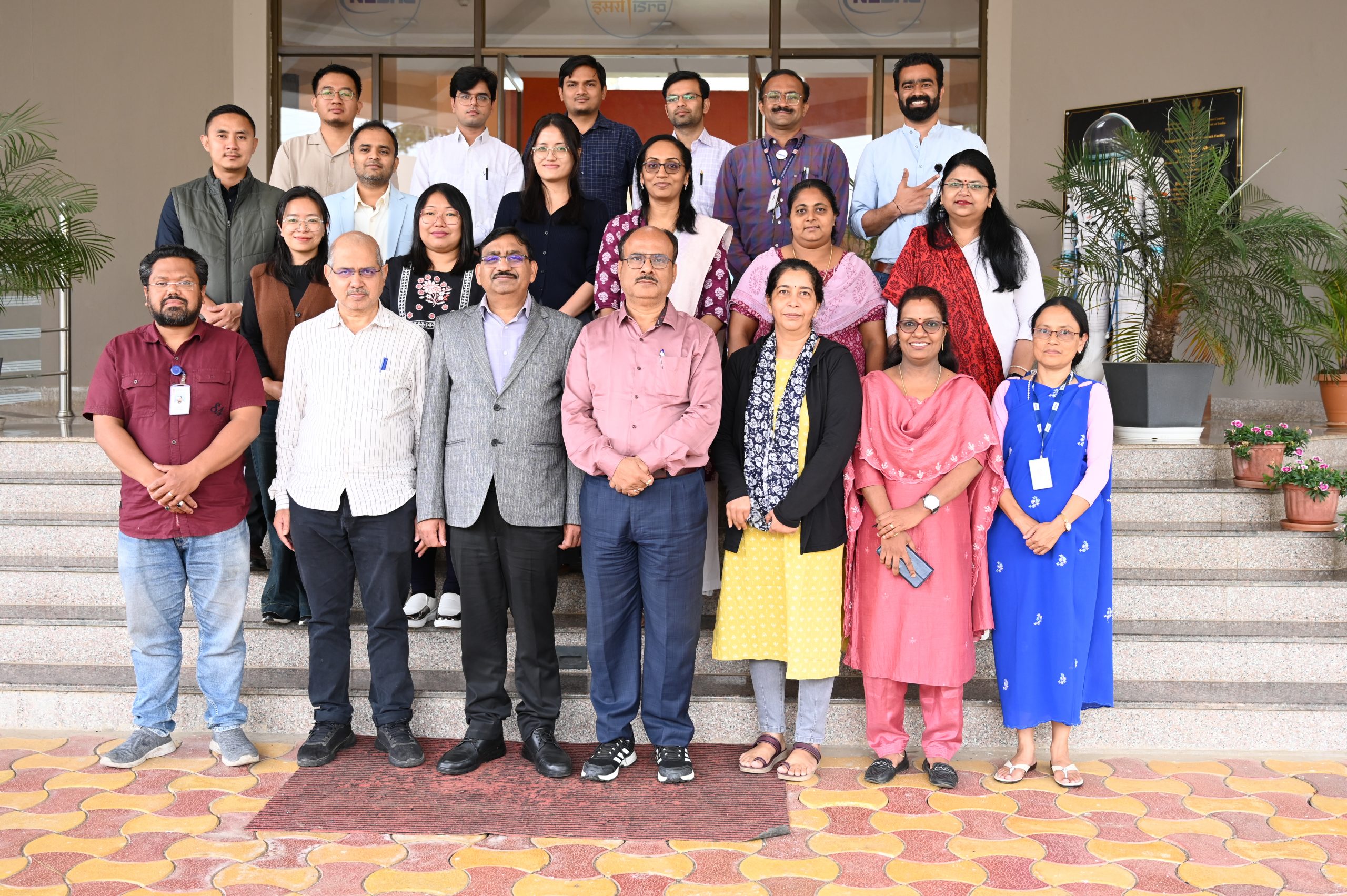
NESAC successfully organized a one week training program for Tier-1 officials under the AMRUT 2.0 sub-scheme on Formulation of GIS-Based Master Plans during May 5 – 9, 2025.
The program brought together officials from state town planning departments, urban local bodies and development authorities across Nagaland, Mizoram, Kerala, Manipur, Chhattisgarh and Uttar Pradesh. The training focused on leveraging space-based geospatial technologies for urban planning, featuring lectures and hands-on exercises on GIS-based master plan preparation, digital tools, and smart city initiatives.
The inaugural session commenced with a welcome address and course overview by Dr. Jenita M. Nongkynrih, Head, Urban and Regional Planning Division, NESAC, outlining the program’s objectives. Shri N.K. Dhiran, Chief Town Planner of TCPO, New Delhi, graced the event as the chief guest, emphasizing the significance of capacity-building in geospatial planning for state governments. A special session on Government Initiatives in Geospatial Technology was conducted by Shri Monis Khan, Town & Country Planner, MoHUA, covering open data portals, mobile apps, and geospatial policies. Shri Arulraj from NRSC delivered a guest lecture on geospatial data sources, including demonstrations of Bhuvan and Bhoonidhi portals.
Dr. S.P. Aggarwal, Director, NESAC engaged with participants, discussing how GeoAI and digital twins are transforming urban planning, enabling smarter infrastructure development, climate resilience, and resource optimization. The program concluded with a valedictory session where Shri E. Kharmalki, IAS (Retd.) and former Director of the Department of Urban Affairs, shared insights and commended the participants. The event, attended by 20 officials, was coordinated by Shri Santanu Das, Scientist ‘SE’ on behalf of NESAC, reinforcing the centre’s commitment to advancing geospatial applications in urban governance.