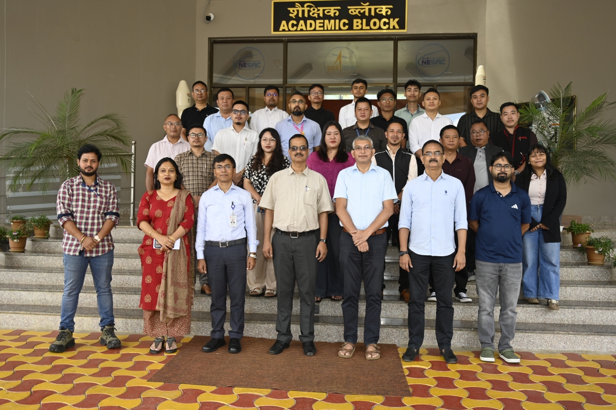
The Training of Master Trainers on “Farm Boundary Mapping using Geospatial Technology” was organized by NESAC during 14–18 September 2026, with financial support from the Ministry of Agriculture and Farmers Welfare, Government of India. The training was aimed at strengthening the technical capacity of officials/scientists involved in agricultural and geospatial activities for effective farm boundary mapping and field data collection using advanced geospatial technologies. The training was attended by 26 Master Trainers representing the Departments of Agriculture, Horticulture, Revenue, Survey & Regional Planning, State Remote Sensing Applications Centres and Autonomous Councils across 6 NE states.
The programme commenced with an inaugural session on 14 September 2026. Dr. Chandan Goswami, Scientist SF and Course Director, welcomed the participants and provided an overview of the course schedule. Dr. B.K. Handique, Head, ASD and Programme Planning and Evaluation Group (PPEG), highlighted the background and objectives of the training and emphasized the significance of geospatial technologies for accurate farm boundary delineation and systematic field data collection. Dr. K. K. Sarma, Group Director, RSAG, NESAC, delivered the inaugural address and highlighted the role of space technology applications in strengthening agricultural development and contributing towards food and nutritional security in the region.
During the training, participants engaged in two hours of theoretical sessions covering the fundamentals of remote sensing and the concepts and basic operations of GIS and GPS. This was complemented by 12 hours of practical sessions focusing on downloading, handling & utilization of satellite data, satellite image processing and visual interpretation, followed by demonstrations and hands-on exercises using the Krishi-DSS Dashboard. The programme also included demonstrations of the Krishi-DSS mobile applications for field data collection, through which participants were trained in field survey procedures and systematic collection of agricultural information. Dedicated field surveys were conducted on 16 and 17 September 2026 for farm level data collection using the Krishi-DSS mobile application.
The training concluded with a valedictory programme on 18 September 2026, presided over by Dr. S.P. Aggarwal, Director, NESAC as the Chief Guest and distributed the course completion certificates to the participants. The programme concluded with a formal vote of thanks delivered by Dr. Pradesh Jena, Course Officer.
NESAC conducts one week training program on “Farm Boundary Mapping using Geospatial Technology”
Posted in Events
Recent News
NESAC conducts two weeks short course on “Advanced Geospatial Technologies for Smart Agriculture"
NESAC celebrates the 80th Independence Day of the Nation