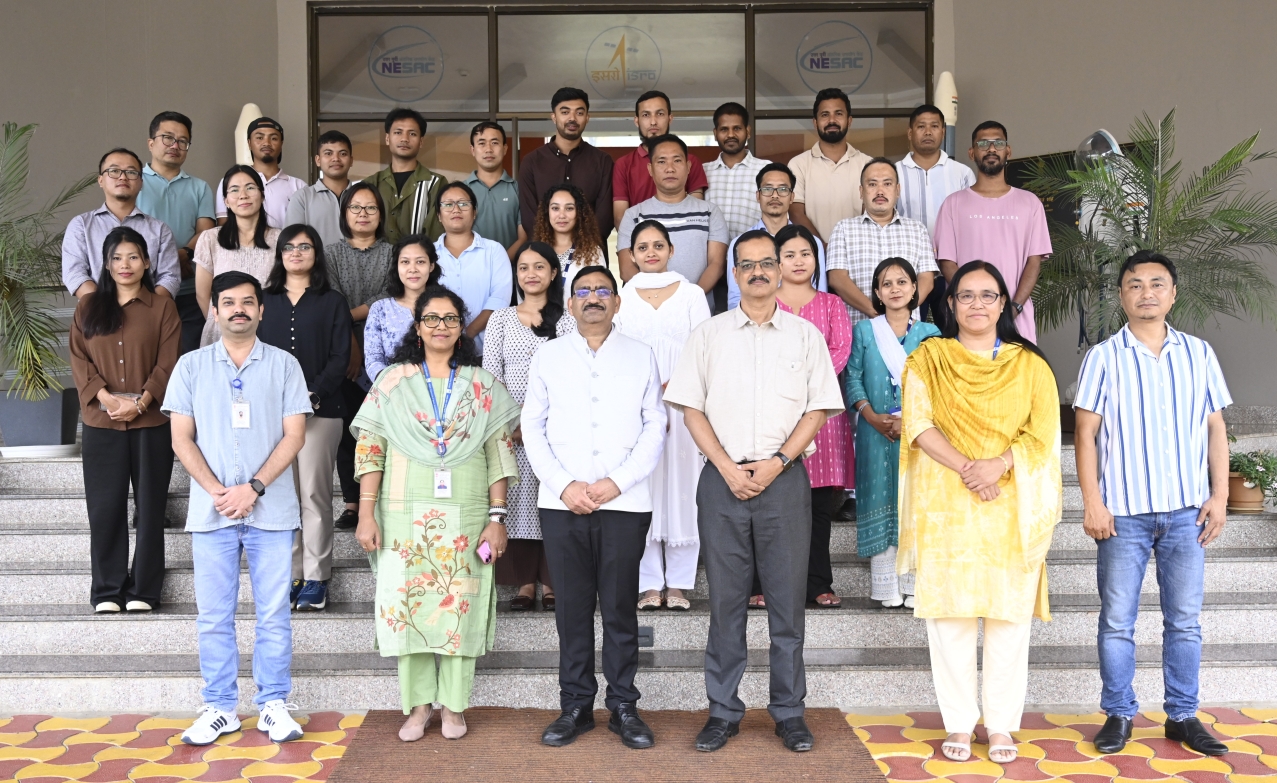
A two-week short course on “Remote Sensing and GIS Applications in Forestry and Ecology” was conducted by the Forestry and Ecology Division (FED), NESAC, during September 07–18, 2026, at the NESAC Outreach Facility. A total of 17 participants attended the course, including officials and field staff from the Forest Departments of Mizoram, Manipur and Meghalaya, university faculties, research scholars, and students. The inaugural programme commenced with a welcome address by Smt. H. Suchitra Devi, Course Director. She provided an overview of the course, followed by the introduction of the participants. Dr. Kasturi Chakraborty, Head, FED, delivered the inaugural address and encouraged the participants to make the most of the training.
The course curriculum covered the fundamental concepts of remote sensing, GIS and GPS, along with hands-on training using remote sensing data and relevant software. Specific topics included forest cover and density mapping, growing stock and biomass assessment, forest cover change detection, wildlife habitat evaluation, climate change perspectives, species distribution modelling, and forest fire monitoring. Participants were also introduced to advanced remote sensing applications involving UAV, LiDAR, microwave remote sensing, machine learning, and AI. A guest lecture was delivered by Shri Rajendra G. Garawad, IFS, CCF, REWP, Forest Department, Assam, on “Monitoring Wildlife, Development Impacts and Free Software”.
The valedictory programme was held on September 18, 2026, during which the course report was presented by Dr. Dhruval Bhavsar, Course Officer, followed by feedback from the course participants. Dr. K. K. Sarma, Group Director, RSAG shared his remarks and encouraged the participants to apply the knowledge gained during the course in their respective areas of work. Certificates were distributed to the participants by the Director, NESAC, Chief Guest of the programme, and Shri Rajendra G. Garawad, IFS, CCF, REWP, Forest Department, Assam, Guest of Honour. The programme concluded with a vote of thanks delivered by Dr. Kasturi Chakraborty, Head, FED.
NESAC conducts Two Weeks short course on “Remote Sensing and GIS Applications in Forestry and Ecology”
Posted in Events