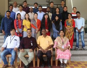
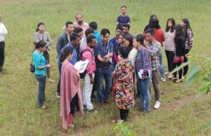
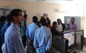
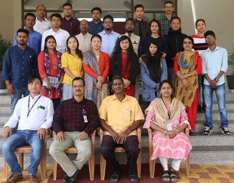
A short course on RS and GIS applications in forestry and ecology was conducted at NESAC during 21st to 25th October 2019. A total of 21 participants joined the training from various parts of Northeast India and West Bengal. The themes covered during the course are basics of remote sensing and GIS, image interpretation, enhancement techniques, vegetation indices, concepts of GPS & map projection, wildlife habitat evaluation, species distribution modelling, concepts of microwave remote sensing, UAV remote sensing, hyperspectral remote sensing etc. The course focused more on practical sessions demonstrating image geo-referencing, satellite image interpretation, layer stacking, familiarisation with QGIS software, forest mapping etc. The various thematic topics and practical exercises were conducted by NESAC scientists and researchers.
Short Course On RS And GIS Applications In Forestry And Ecology
Posted in Events
Previous Post
Two days training course on ‘Applications of GIS in Disaster Risk Management’ organized at NESAC
Next Post
NESAC participation in State level “National Children Science Congress”, Assam
