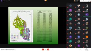
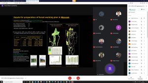
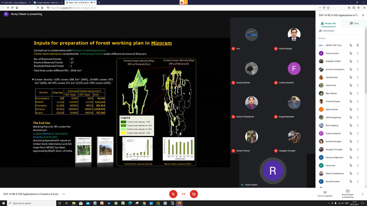
An online one week course on ‘Remote Sensing and GIS applications in Forestry & Ecology’ was conducted at NESAC during February 1- 5, 2021. The course covered geospatial technology with introductory concepts of remote sensing, GIS and GPS, visual and digital satellite data interpretation techniques, accuracy assessment, forest type and density mapping along with growing stock assessment. The course also covered important theoretical concepts on wildlife habitat evaluation, forest change detection, hyperspectral, microwave and forest fire monitoring. Familiarization with QGIS software and demonstration of basics of information extraction from satellite data for information extraction was also arranged. A special lecture on ‘Indian space Program’ was presented by Sri P.L.N. Raju, Director, NESAC. A total of 56 number of participants joined the course from different parts of India, with maximum participants from North East India. Resource persons for the course were Dr. K K Sarma, Smt. H Suchitra Devi, Dr. Kasturi Chakraborty, Dr. B K Handique, Dr. Pebam Rocky, Sri Victor Saikom, Dr. Arjun BM, Sri Nilay Nishant and Ms Ritu Anil Kumar, all Scientists/Engineers from NESAC. The course coordinator and course officer for this course were Dr. Kasturi Chakraborty, and Dr. Pebam Rocky respectively.
NESAC conducts one week online course on ‘Remote Sensing and GIS applications in Forestry & Ecology’
Previous Post
NESAC signed MoU with Assam Survey and Settlement Training Centre (ASSTC)
Next Post
Brigadier TS Hothi from Umroi Army Cantonment visited NESAC on 11.02.2021
