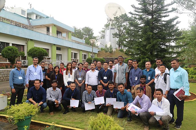
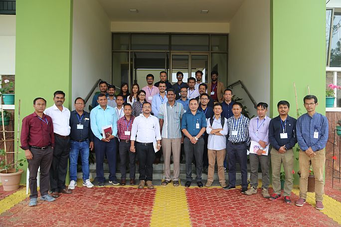
The 3rd two weeks training course on “UAV Remote Sensing – Technological Advances & Applications” was conducted by North Eastern Space Applications Centre during 04-14 September, 2018. The participants were teachers, students and research scholars from various Colleges, Universities of India. There were also participants from different public/private sectors from various parts of India. The course covered understanding of the UAVs and its components, flight planning for data acquisitions for various remote sensing applications, 3D printing & its application in UAV. It also covered different data processing techniques e.g. generation of orthomosaic, digital surface model (DEM), digital terrain model (DTM), contour maps, volumetric analysis etc. for high-resolution UAV data processing using open source softwares, Pix4D mapper pro and Agisoft photoscan pro softwares. The course had 11 hours of lectures and 24 hours of practical work for the participants and 1 day of field visit to capture UAV data with GCPs. The third and fourth days of the second week were dedicated towards mini-projects which were executed in groups with different application based topics for each group.