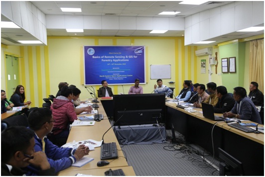
A short course on basics of Remote Sensing and GIS for forestry applications was organized at NESAC for the staff of Arunachal Pradesh Forest Department during 12-16 November 2018. 21 Range Forest Officers, Deputy Rangers, Foresters, Forest Guards deputed by the Additional Principal Chief Conservator of Forests participated in the training programme. The programme was organized as a part of the RS & GIS inputs for preparation of Forest Working Plan, sponsored by the Arunachal Pradesh Forest Department
Training on basics of Remote Sensing and GIS for forestry applications

Previous Post
Brainstorming Workshop on Space Science & Technology and its Applications at at Dibrugarh University
Next Post
World Hindi Day Celebrations
Recent News
A customised two weeks course for the Indo German Development Cooperation funded project “Climate Resilience of Forest Ecosystems, Biodiversity & Adaptive Capacities of Forest Dependent Communities in Tripura” (CFEFLAT) supported by the Tripura Forest Department was organised during 21st April 2025 to 02nd May 2025 by the Forestry & Ecology Division. Twelve officials participated as the first batch of the training programme. The training focussed on the introductory lectures on basics concepts of remote sensing, GIS, image interpretations, map projections and digital image processing with emphasis on hands-on exercises on different aspects of forest cover and land use mapping.