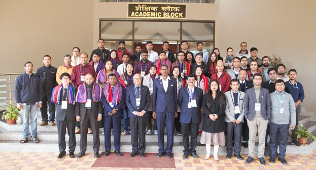
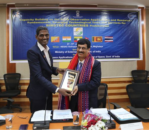
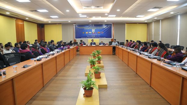
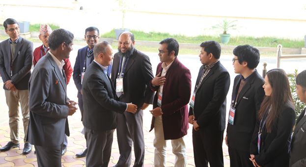
Two weeks training programme on CAPACITY BUILDING ON THE EARTH OBSERVATION APPLICATIONS AND RESEARCH: FUNDAMENTALS, EMERGING TECHNOLOGICAL TOOLS AND SERVICES FOR BIMSTEC COUNTRIES PROFESSIONAL was conducted at NESAC during 06-17 January, 2020. Total 24 participants from Bangladesh, Myanmar, Sri Lanka, Thailand, Nepal and Bhutan have attended this two weeks programme organized by NESAC and sponsored by Ministry of External Affairs, BIMSTEC Division, Government of India. Shri DK Das, Distinguished Scientist, Director, Space Applications Centre, ISRO, Ahmadabad graced the occasion as a Chief Guest during inaugural programme held on 6th January, 2020. Dr R R Navalgund, Former Director, Space Applications Centre, ISRO, Ahmadabad delivered a talk on the Principle of Remote Sensing and Sensors as invited speaker as well as Guest of Honour in the inaugural programme. Shri Moses K Chalai, IAS, Secretary, North Eastern Council (NEC) graced the occasion as the Chief Guest during the valedictory programme of the course held on 17th January, 2020.