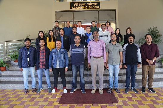
NESAC has conducted a one week short course on ‘Applications of Remote Sensing & GIS in Water Resources’ during November 25 – 29, 2019. This course mainly focused on understanding of remote sensing and GIS techniques to study the recent advances in water resources. The course consists of the series of lectures and practical on remote sensing, GIS and water resources. The course is designed with a view to provide understanding of the scientific concepts associated with remote sensing and its applications to various water resources problems. A total of 15 participants for different parts of North East attended the training program.
NESAC Conducts one week course on applications of Water Resources during November 25-29.

Previous Post
NESAC Conducts one week course on applications of Remote Sensing & GIS in Agriculture during November 25-29.
Next Post
NESAC organizes activities under Vikram Sarabhai Centenary Celebration alongside 47th State Level Science, Mathematics & Environment Exhibition 2019-20 at Agartala, Tripura during 2nd-4th January 2020.

