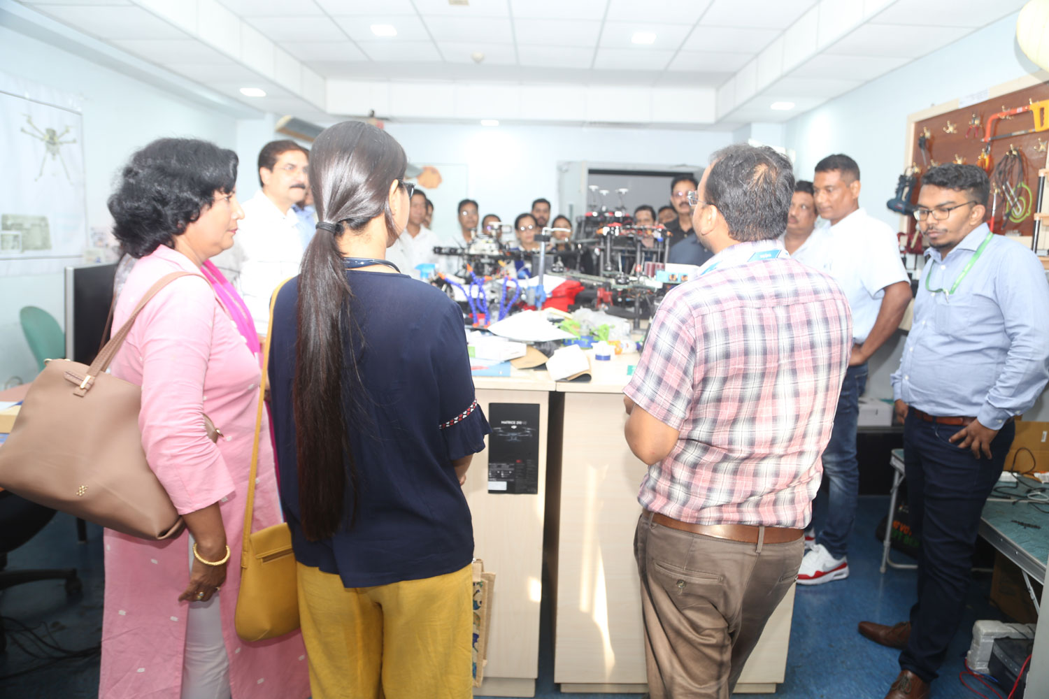
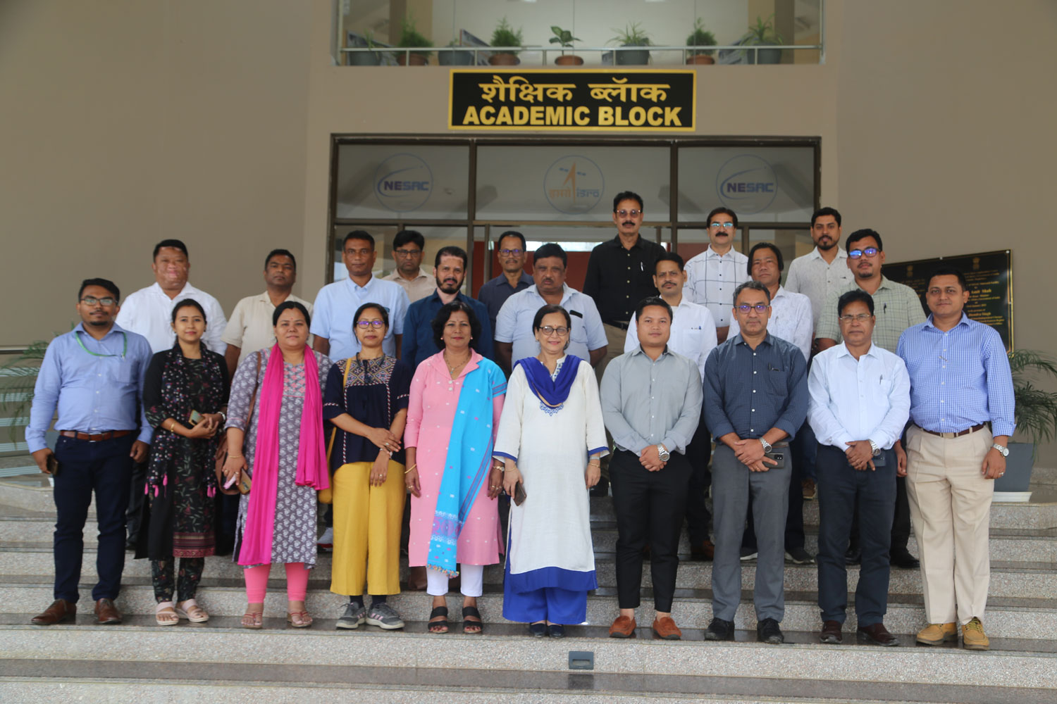
Soil Conservation Department of Assam is implementing new generation WDC-PMKSY2.0 in Assam. Currently, the entire project is in a preparatory stage. In this connection, Soil Conservation Department, Government of Assam sent a group of state level and project level officers to NESAC as an exposure visit to learn about the application of Remote Sensing and GIS Tools for planning, implementing and monitoring of different projects. To meet the requirements of the officers, three classes were arranged covering basics RS and GIS, different case studies on watershed management and development, Hydrology, Water Resources development and usage of advance GPS system. A hands on session was also conducted on usage of GPS. Inaugurating the the training programme, Director NESAC highlighted on applications of Space technology on watershed development and management. Subsequently, Shri Ranjit Das, Scientist-SF and Shri Shanbor Kurbah, Scientist-SC delivered lectures on “Application of Geospatial technology for Watershed Development” and “Application of Geospatial technology for Hydrologic analysis in watershed level”. Dr. Gopal Sarma also delivered a lecture and hands on usage of GPS. At the end of the training, participants visited different facilities at NESAC.