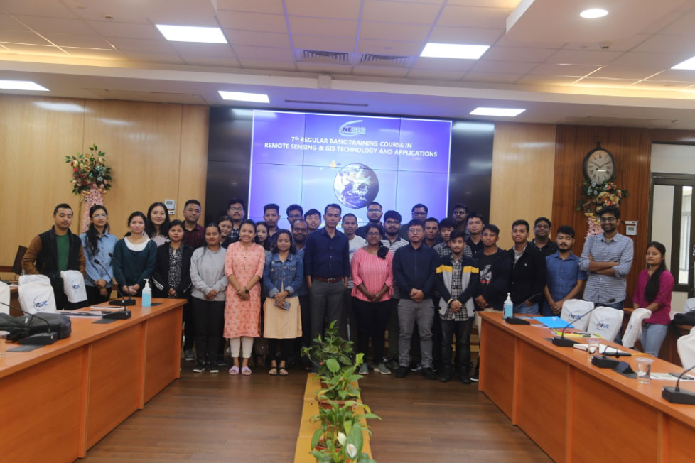
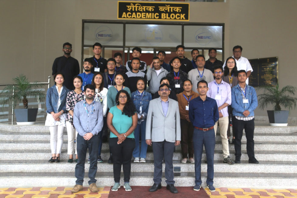
The two-week Basic Course in Remote Sensing and GIS was conducted at NESAC from 6th to 17th June 2022. 24 participants registered for the course including a number of professionals from State User Departments, Assistant Professors, Research Scholars and post-graduate students. The course consisted of 5 modules delivered in the form of theoretical lectures, practical sessions, a field visit and the implementation of a domain-specific mini project. Dr Shashi Kumar, Scientist/Engineer-SE from the Indian Institute of Remote Sensing delivered an invited lecture on microwave remote sensing. Further, a field visit was conducted on 11th June 2022 to Sohra where the activities at the Doppler Weather Radar were demonstrated. The valedictory program was conducted on 17th June, 2022 chaired by Dr. S.P. Aggarwal Director NESAC. The training was coordinated by Dr Dibyajyoti Chutia, Course Director and Smt. Ritu Anilkumar, Course Officer.


