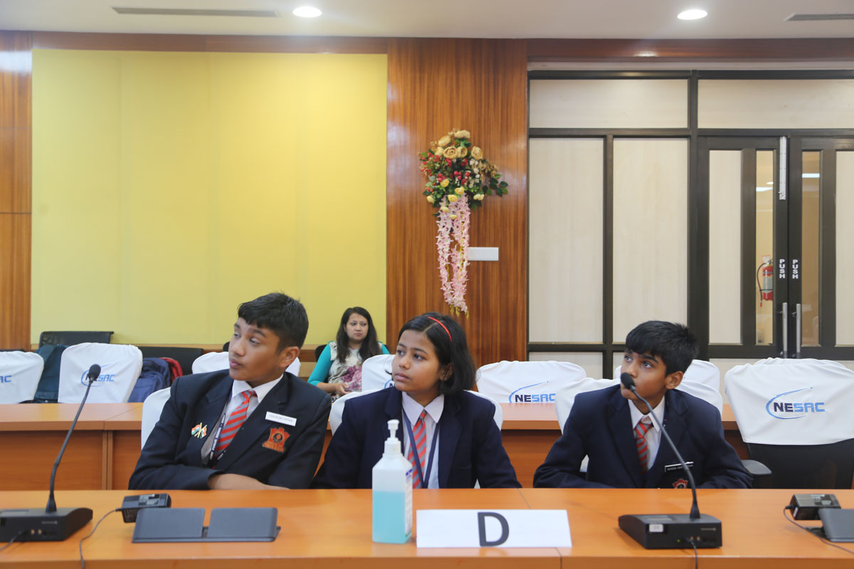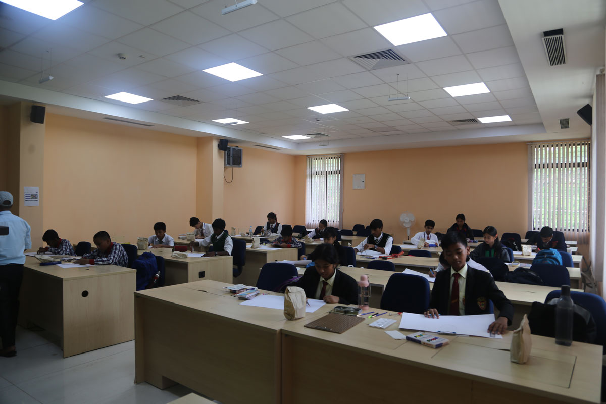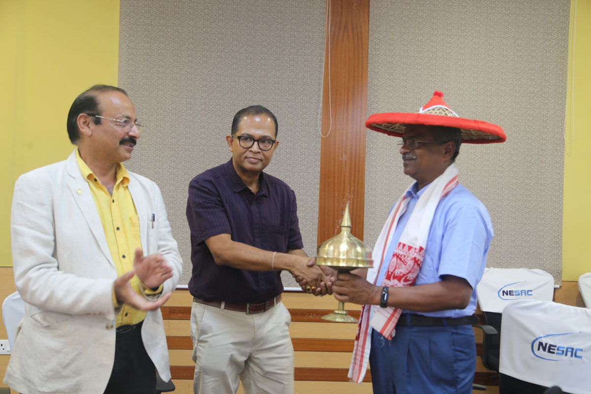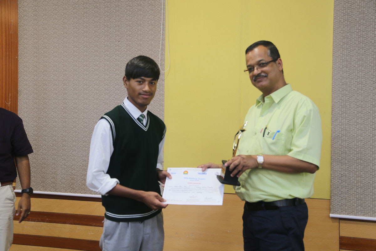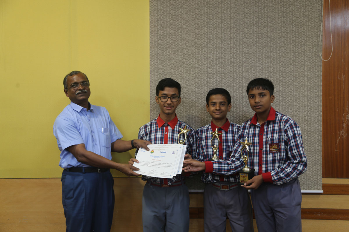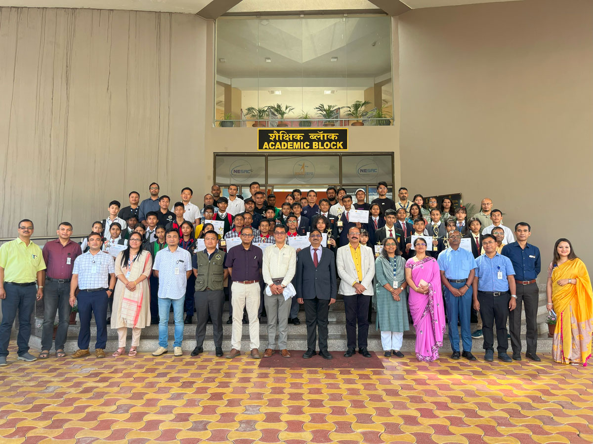
The National Remote Sensing Day 2023 was celebrated by the Shillong Chapter of the Indian Society of Remote Sensing (ISRS) jointly with the Shillong Chapter of the Indian Society of Geomatics (ISG) with a half day programme at the outreach complex of NESAC on 18th August, 2023. The programme was coordinated by Dr. Diganta Barman, Head, Water Resources Division, NESAC & Secretary, ISRS – Shillong Chapter along with Smt. Haobam Suchitra Devi, Senior Scientist, Forestry & Ecology Division, NESAC and Treasurer, ISRS – Shillong Chapter under guidance of Dr. S.P Aggarwal, Director, NESAC & Chairman, ISRS – Shillong Chapter. The half day event comprised of inter school painting and Space Quiz Competitions, an invited lecture by Dr. John Mathew, Associate Director, EDPO, ISRO H.Q, and felicitation of individual achievers followed by an open concluding session. During the program, Dr. S.P Aggarwal, Director, NESAC was felicitated on being conferred as a Fellow of the Indian Society of Remote Sensing as well as being elected as the lead of working group- V (Disaster Management) under technical commission- IV of ISPRS followed by Prof. Sunil Kumar De, HOD, Geography, NEHU, who was felicitated on being elected as the President of International Association of Geomorphologists. Prizes were distributed among the winners of the Painting and Quiz competitions by the office bearers of both ISRS and ISG Shillong Chapters.