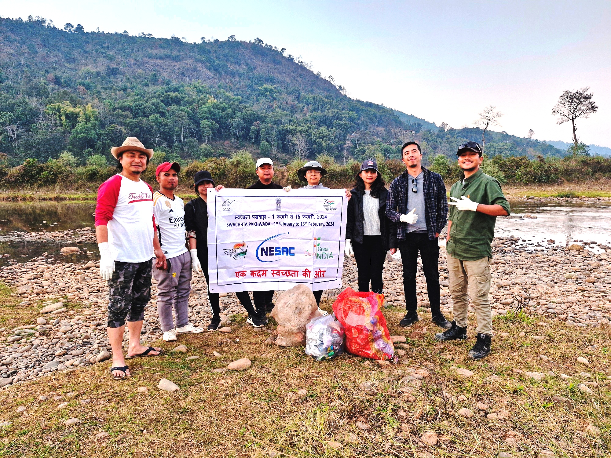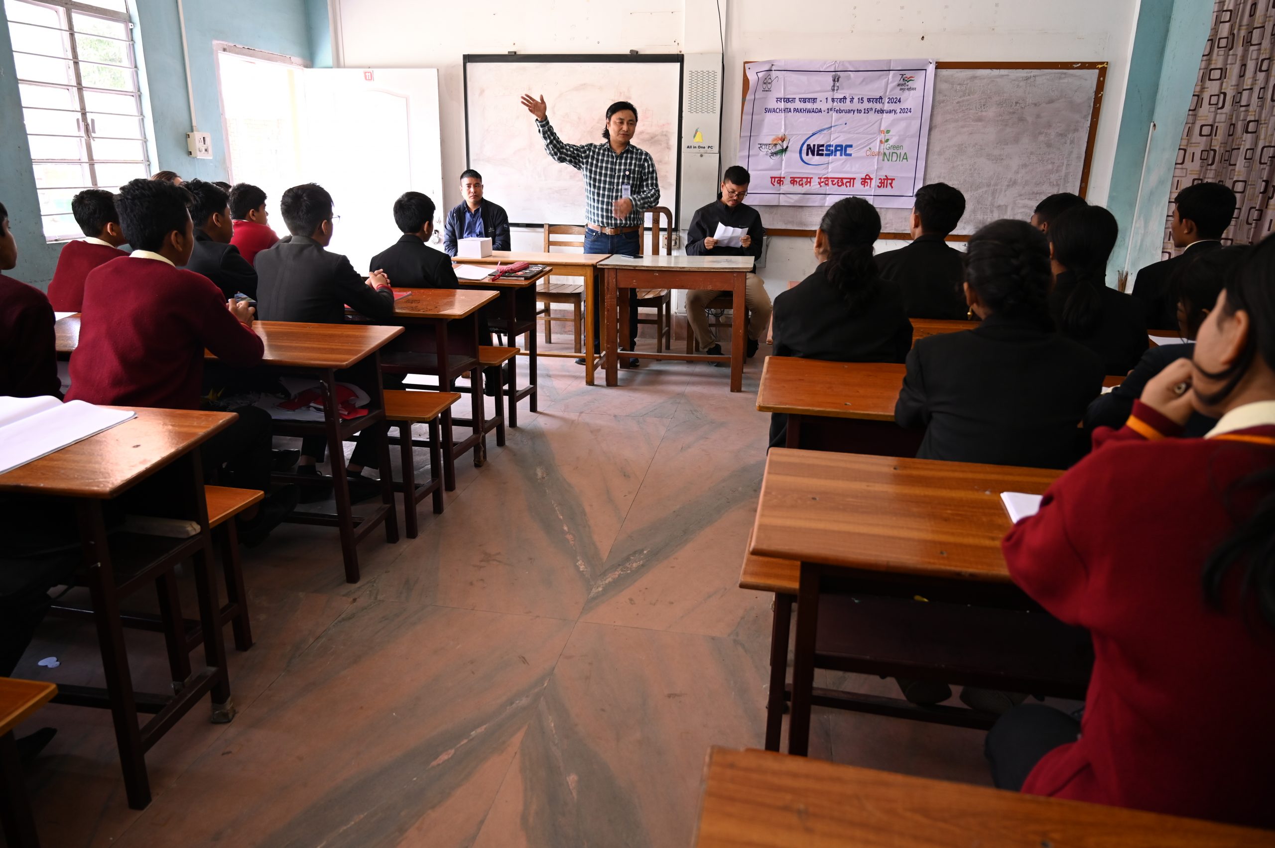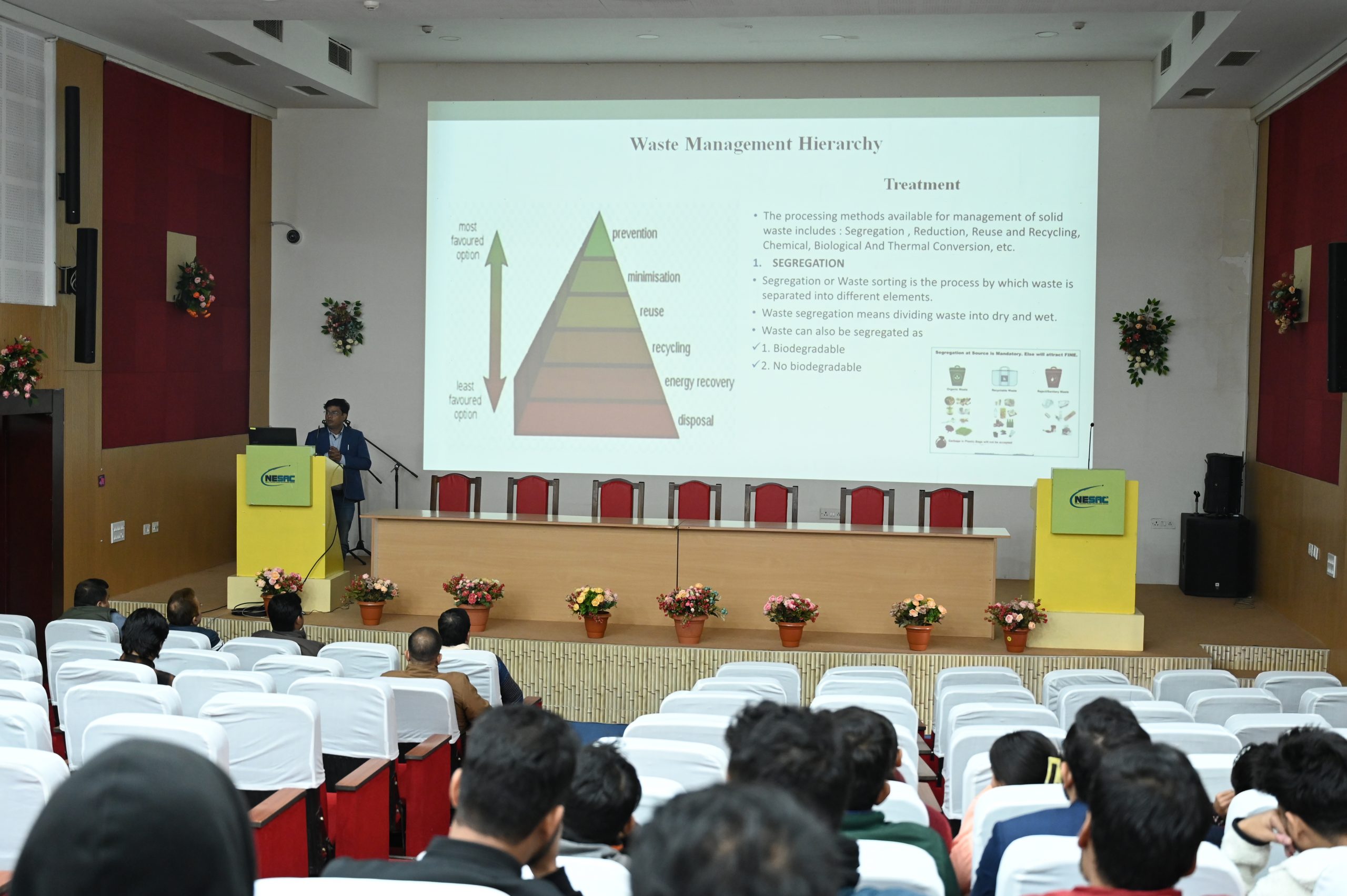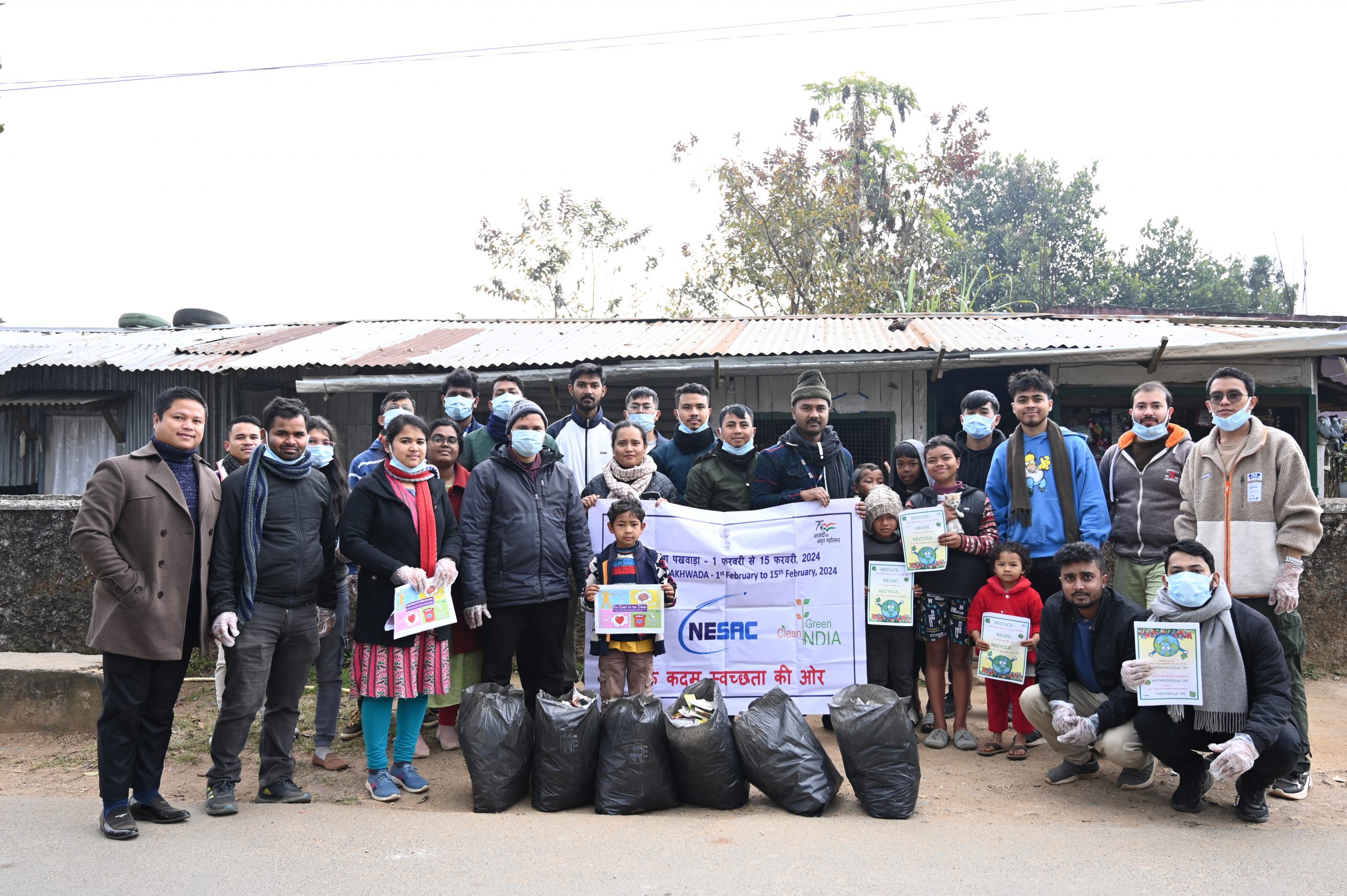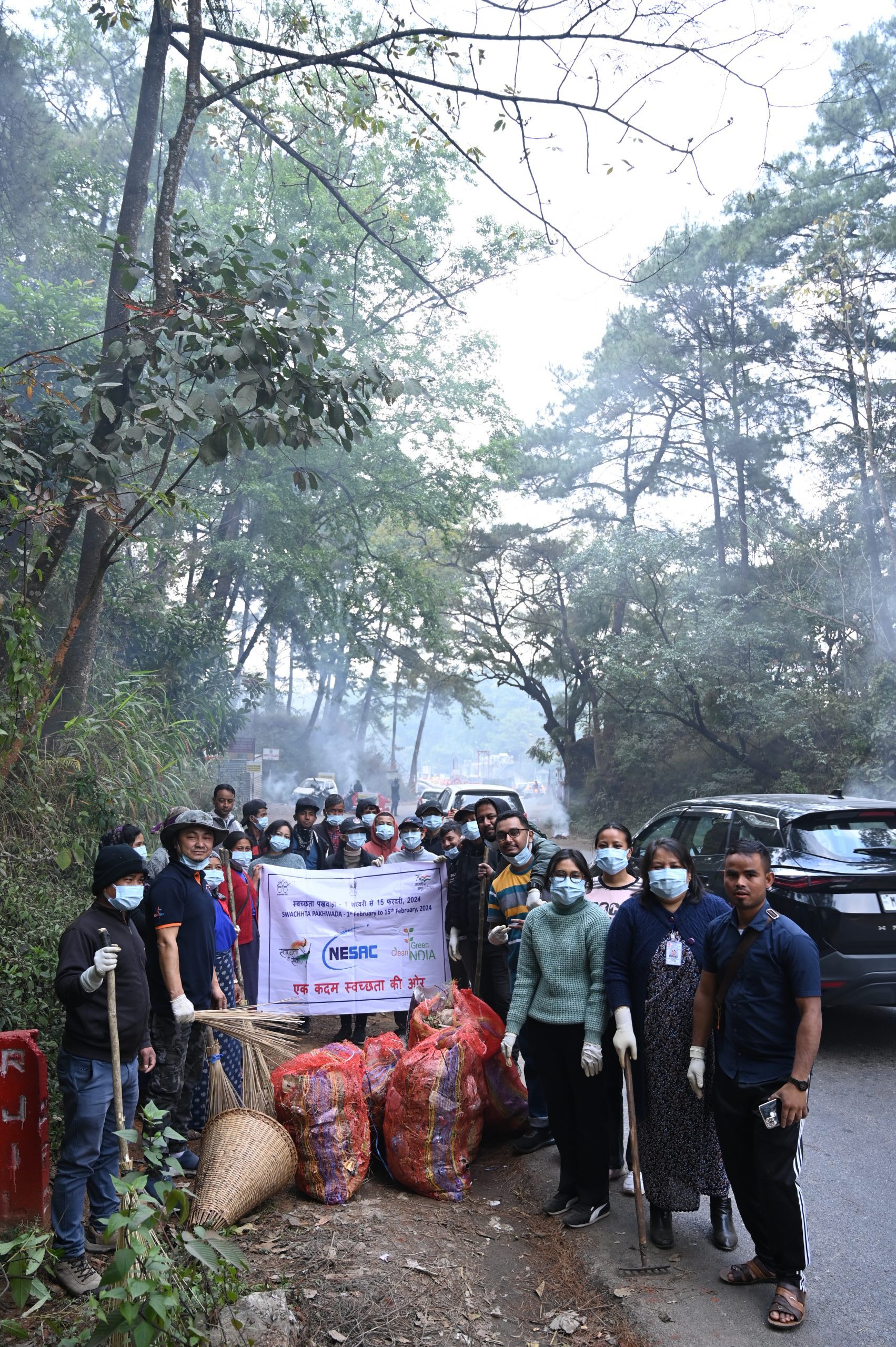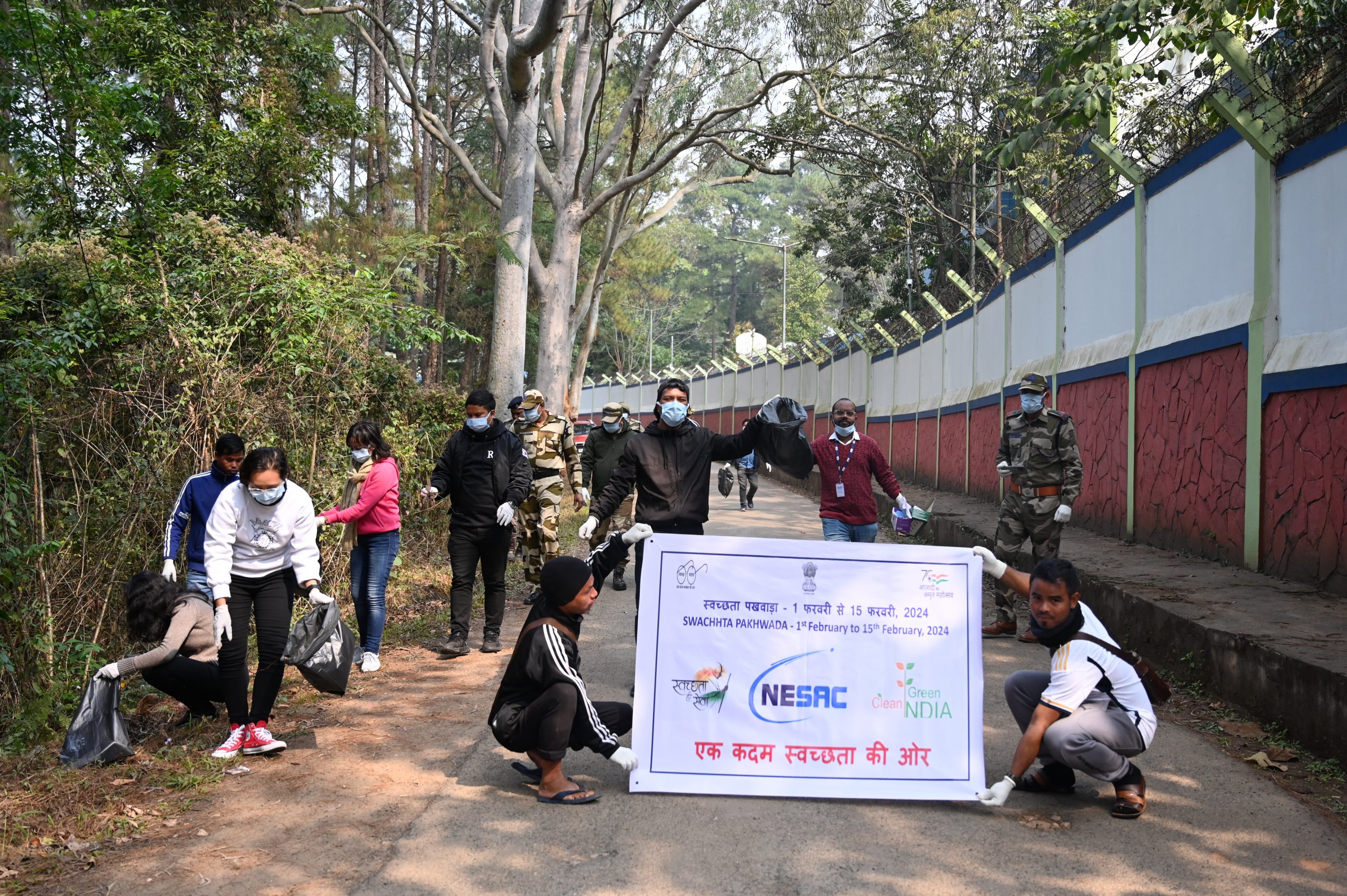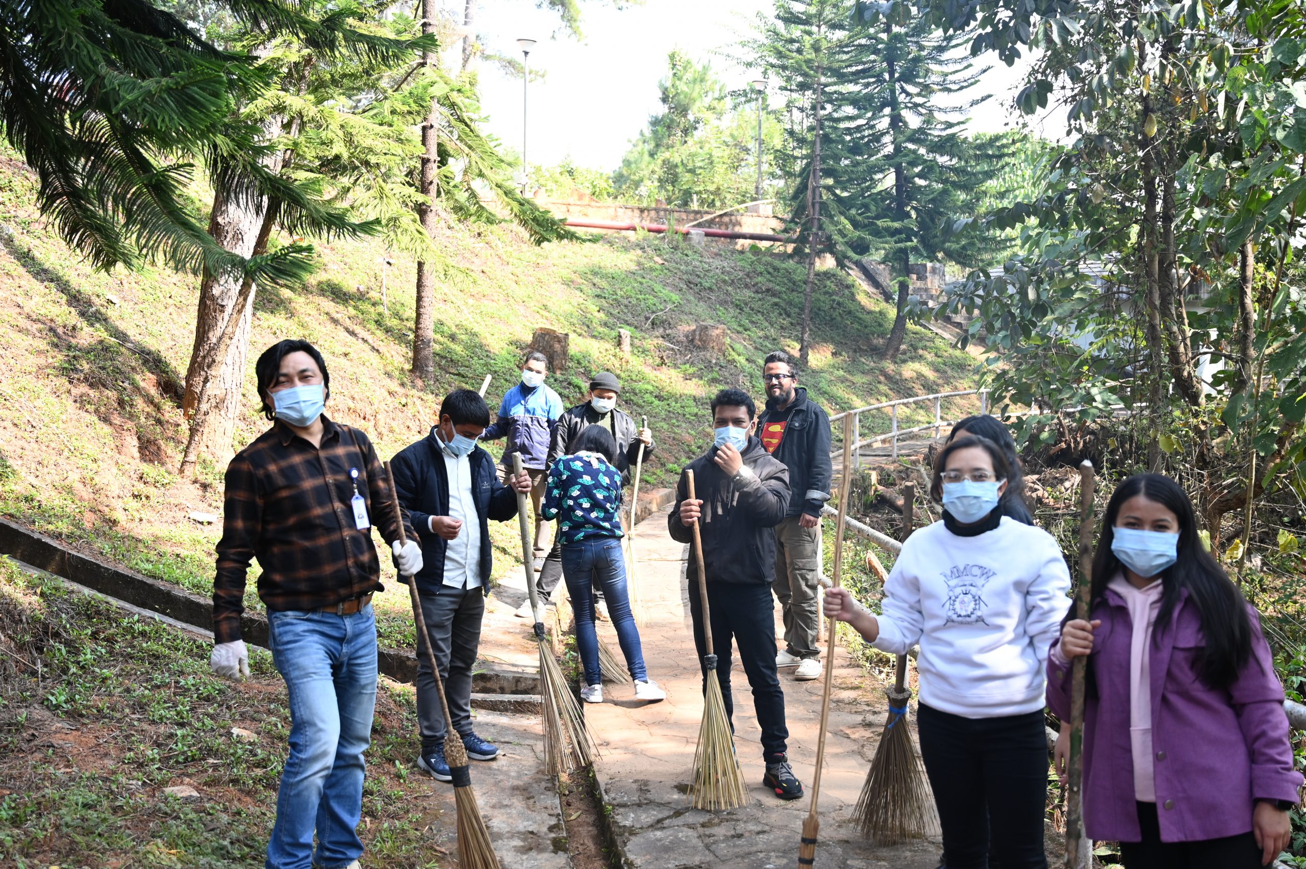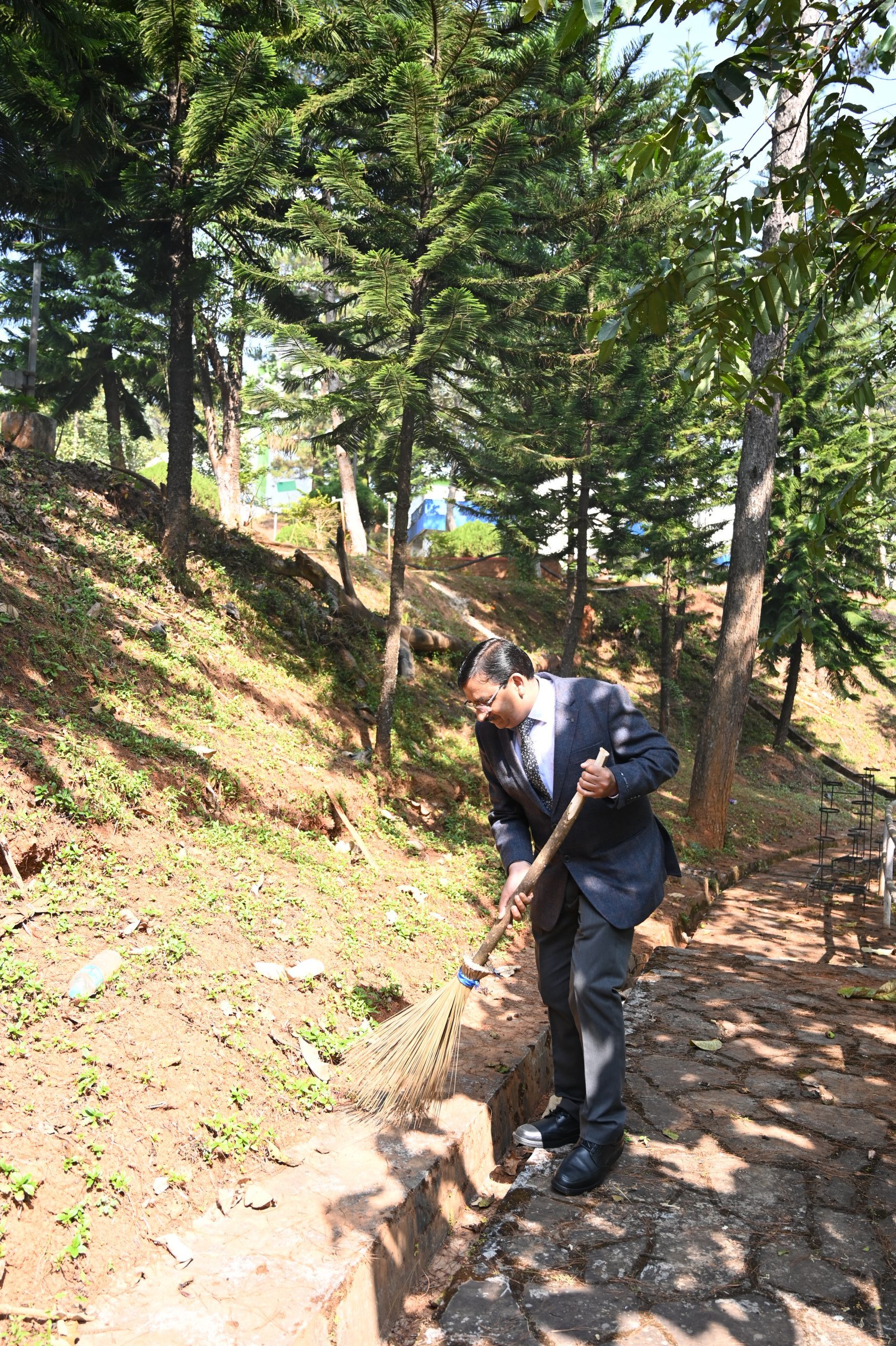
Swachhta Pakhwada-2024 was observed at NESAC from 01.02.2024 to 15.02.2024. The Pakhwada was inaugurated by Director NESAC on the first day of the Pakhwada. The pakhwada started with activites such as Pledge Signature campaign and mass cleaning drive. Different coordinators were identified who led the activities on daily basis. Various cleaning activities were observed during the pakhwada such as plogging run, cleaning of nearby villages etc. Awareness campaign about Swachhta was also conducted involving school children and nearby villagers. This year, cleaning of water bodies such as lakes, rivers, rain water harvesting, ponds etc. were also included. Various competitions such as painting, quiz, elocution, selfie at swachhta banners were conducted involving staff and school children. In order to reduce the plastic usage in day-to-day activities, metal water bottles and jute bags were distributed to the employees. A talk was arranged on solid waste management, which was delivered by celebrated RJ Nicky from Radio Mirchi, Shillong. Drinking water samples and STP effluents were also tested to check its suitability for usage as per PCB norms.