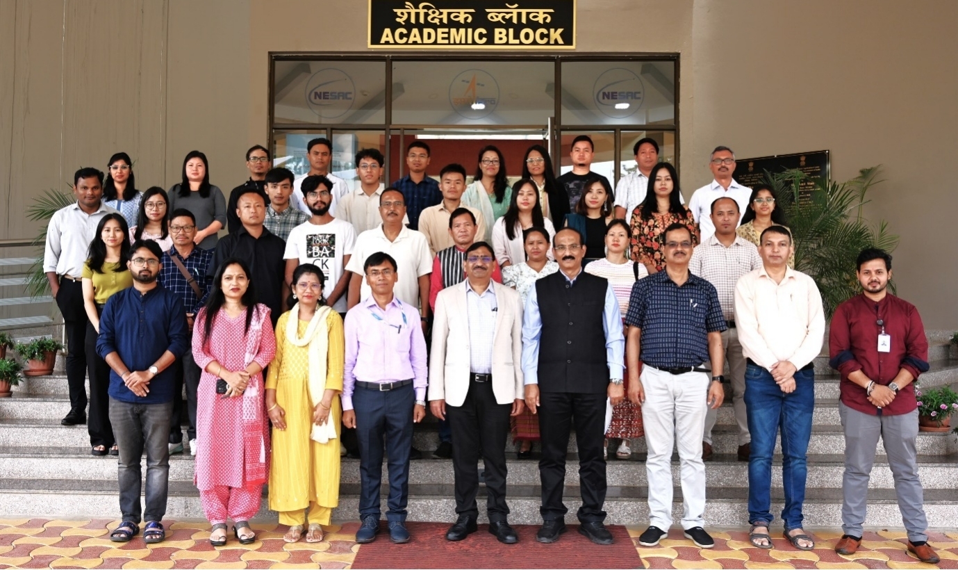
NESAC successfully conducted the fifth edition of the two-week short course on “Applications of Remote Sensing & GIS in Agriculture and Allied Areas” during Aug 19-30, 2024. The course was attended by 28 participants, which included officials from state agriculture, horticulture and fishery departments, faculty members from colleges and universities, scientists, subject matter specialists, research scholars and Private Startups.
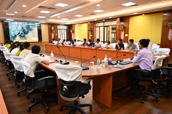
The course commenced with an inaugural session on 9th August, 2024. Dr. B.K. Handique, Head, Agriculture and Soil Division (ASD) and the Course Director, welcomed the participants and provided an overview of the course schedule. Dr. S.P. Aggarwal, Director of NESAC, also addressed the participants, emphasizing the role of geospatial technologies in agriculture and allied sectors. The event was graced by Dr. A.K. Mohanty, Director, ATARI, Zone VII, Umiam as the Chief Guest.
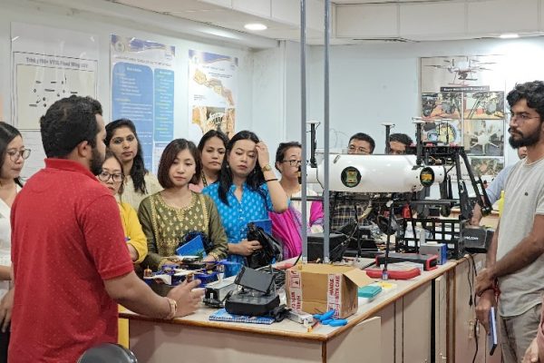
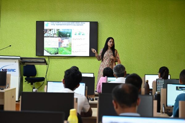
During the period of the course participants engaged in 15 hours of theory classes and 25 hours of practical sessions and 16 hours for project work. One invited lecture on “Satellite Agrometeorology and Applications” was delivered by Dr. Rahul Nigam, a senior Scientist from SAC Ahmedabad on 27th August 2024. Facility visits were arranged to ISTRAC Facility, UAV lab and Doppler Weather Radar station, Sohra as part of the course. The participants were divided into seven groups, each assigned a distinct mini-project focusing on key application areas of agriculture and allied sectors using geospatial technology.
The course concluded with a valedictory program on August 30, 2024, where Dr. S.P. Aggarwal, Director, NESAC, presided as the Chief Guest and distributed the course completion certificates to the participants. The event concluded with a vote of thanks offered by Dr. Pradesh Jena, Course Officer.
