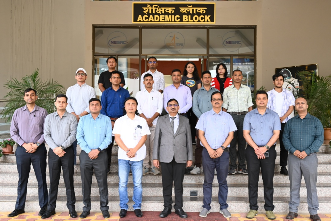
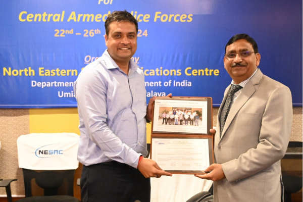
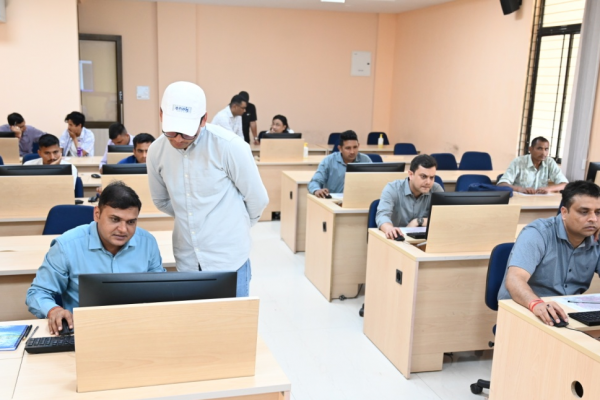
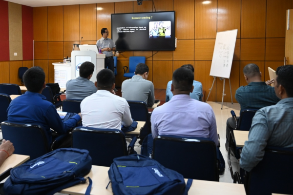
A one week Basic course on Remote Sensing & GIS Technologies and Applications for Central Armed Police force (CAPF) & Intelligence Bureau (IB) officials sponsored by Initiatives Identification and Execution Cell (NIIE), Force Head Quarters, Border Security Force (FHQ BSF) was organised during 22nd to 26th July 2024. The programme was attended by one Commandant & four Assistant Commandants from Central Reserve police Force (CRPF) and five Constables from Indo-Tibetan Border Police(ITBP). Basic theory on the principles of remote sensing and GIS, GPS, satellite data downloading, image processing and various applications were covered in the course with hands on practice session for the benefit of the trainee officers . The training was conducted by Dr. Pebam Rocky as the Course Director.

Basic course on Remote Sensing & GIS Technologies and Applications conducted for CAPF & IB Officials
Posted in Events