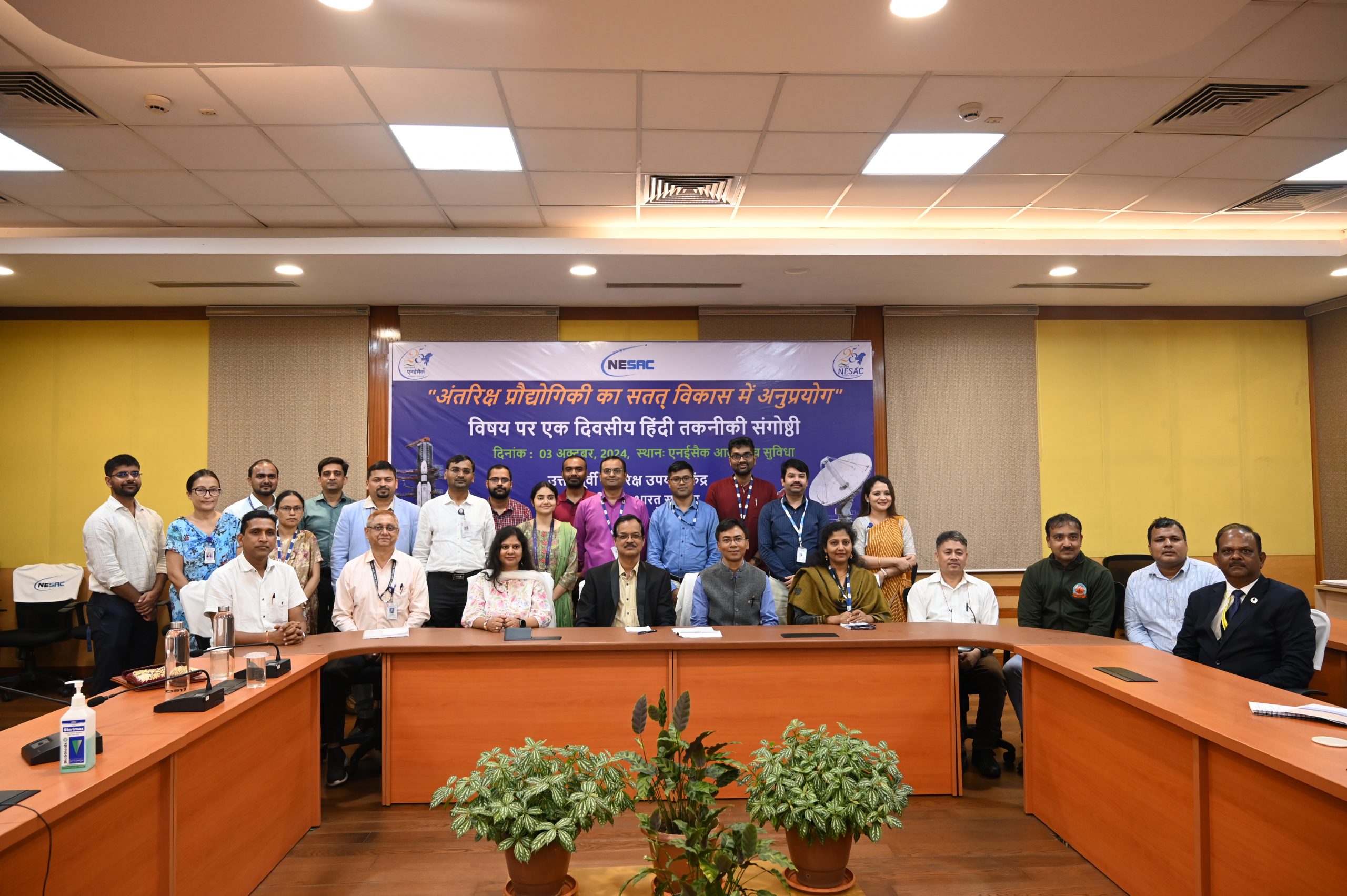
A Hindi technical seminar on “Space Technology Applications in Sustainable Development” was organized at NESAC on 03rd October, 2024. Dr. Vinay Kumar Mishra, Director, Indian Council of Agricultural Research, North Eastern Hill Region (ICAR-NEH), graced the inaugural session of the Semianr as the chief guest. Dr. Shankar Kumar, Joint Director (Official Language), Department of Space Branch Secretariat, New Delhi was present on the dais.
Shri Kumar Anand, Administrative Officer, NESAC read out the message of Secretary, Department of Space, Dr. S. Somanath. Dr. S.P. Aggrawal, Director, NESAC in his inaugural address highlighted the importance and timeliness of the theme of the seminar and stated the objective of organizing Hindi technical seminar to promote linguistic inclusiveness in technical communication.
A total of 13 articles were presented in the seminar in two technical sessions. The article titled “Investigation of earth deformation and its impact on seismic potential using radar satellites in Barapani Shear Zone area of Meghalaya” by Dr. Gopal Sharma, Scientist/Engineer-SE, NESAC, Umiam was selected as the best presentation. In the valedictory session, certificates were distributed to all the participants by Director, NESAC.
Hindi Technical Seminar organized at NESAC Umiam
Posted in Events