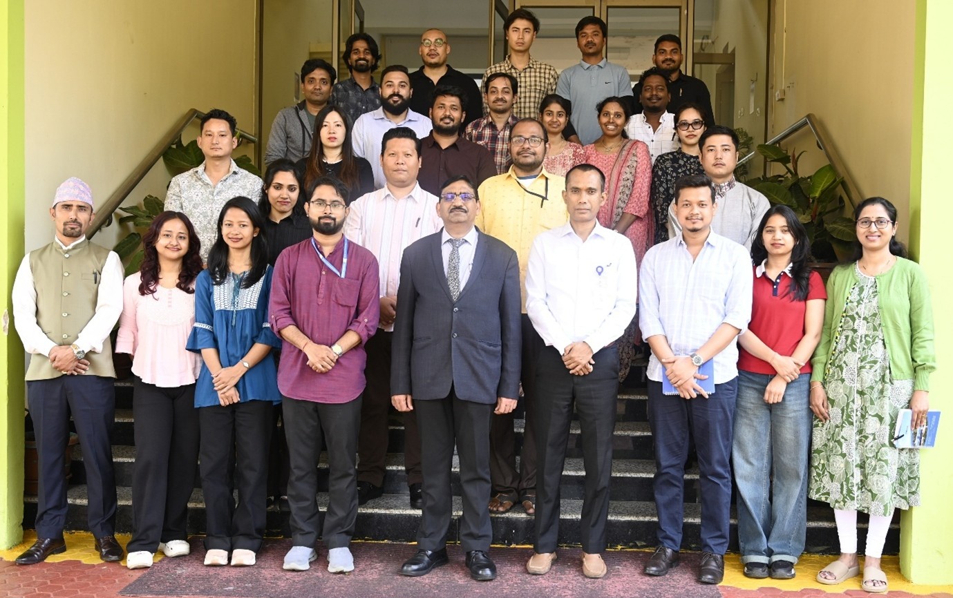
NESAC successfully organized the “Basic Course on Remote Sensing and GIS” during March 9-20, 2026 at NESAC. The programme was attended by 25 participants from various government departments, academic and research institutes and other private organisations. The inaugural session of the course was chaired by Dr K. K. Sarma, Group Head, RSAG & Deputy Project Director, NER-DRR, NESAC, and was attended by Dr Dibyajyoti Chutia, Head, GID, who interacted with the participants and emphasized the growing importance of remote sensing and GIS technologies in governance, resource management, and decision-support systems.
The course curriculum combined theoretical lectures with practical sessions, covering topics such as fundamentals of remote sensing and GIS, satellite data interpretation, spatial data handling, image processing techniques, and geospatial analysis using open-source tools. Participants also received hands-on training in QGIS, satellite image processing, spatial analysis, and map preparation. Demonstrations of various geospatial applications and platforms developed by NESAC were also provided to showcase real-world use cases of geospatial technologies in governance and development planning.
As part of the training, participants were also exposed to applied geospatial workflows, enabling them to understand the integration of satellite data, GIS tools, and field knowledge for generating meaningful spatial information and supporting evidence-based decision making.
The valedictory session was chaired by Dr S.P. Aggarwal, Director, NESAC, where the participants shared their feedback and learning experiences from the course. Shri Nilay Nishant, Course Director, presented a summary of the programme and its outcome. The two weeks course was concluded with a formal vote of thanks delivered by Dr Francis Dutta, the Course Officer.