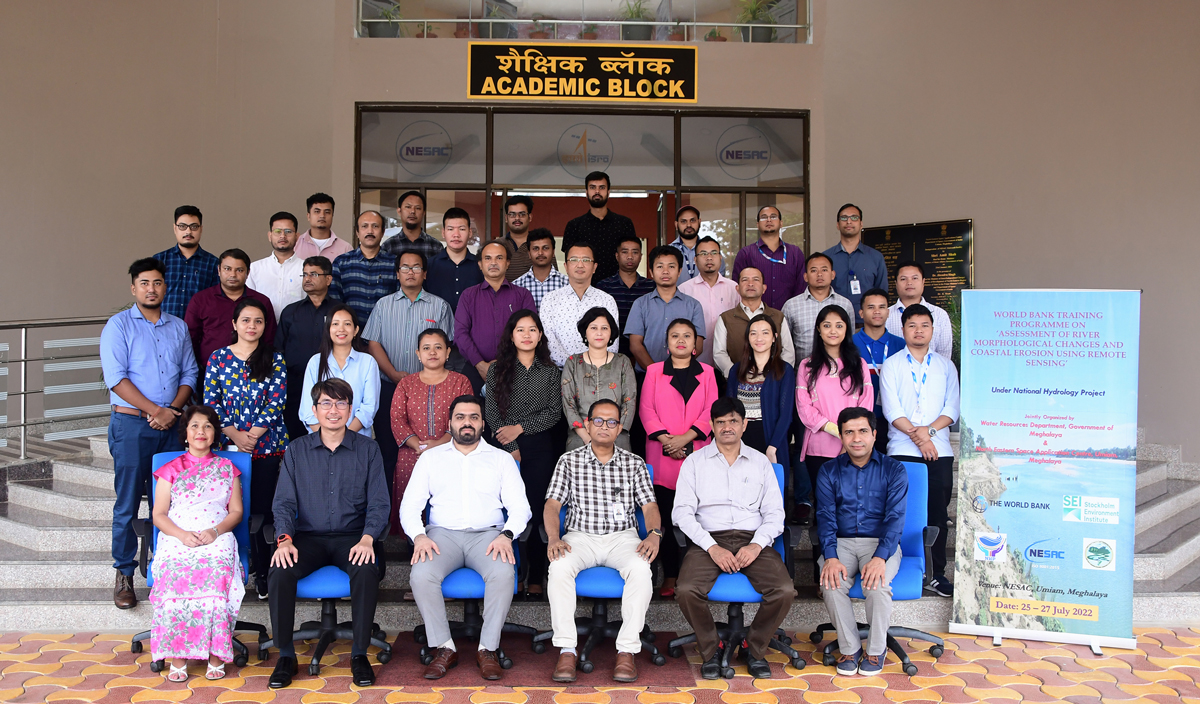
NESAC hosted a three-day World Bank sponsored training programme on “Assessment of River Morphological Changes and Coastal Erosion using Remote Sensing” as part of the National Hydrology Project. NESAC with the support of Stockholm Environment Institute (SEI), Bangkok, Thailand and the Water Resources Department (WRD) of tGovt. of Meghalaya conducted the training during July 22-27, 2022. The training was coordinated by Mrs. D. Blah, Additional Chief Engineer, WRD, Meghalaya, Dr. Diganta Barman, Sci/Engr. ‘SF’, NESAC, Mr. Shanbor Kurbah, Sci/Engr. ‘SC’, NESAC and Dr. Arjun B M, Sci/Engr. ‘SD’, NESAC. The training was attended by 29 participants from the different departments, viz., : Water Resources Department, Meghalaya; Irrigation and Waterways Department, West Bengal; Brahmaputra Board, Guwahati; National Institute of Hydrology, Guwahati; Indian Institute of Technology, Guwahati; Water Resources Department, Assam; Central Water Commission, Shillong; and Irrigation and Water Resources Department, Mizoram. The course was designed to train the participants how on utilization of the Google Earth Engine (GEE) platform to assess erosion and accretion of the river banks,. The training also covered the studies on the phenomenon of coastal erosion of the Indian coast and assessment of area loss as a result of its effects.
North Eastern Space Applications Centre
Government of India, Department of SpaceUmiam, Meghalaya