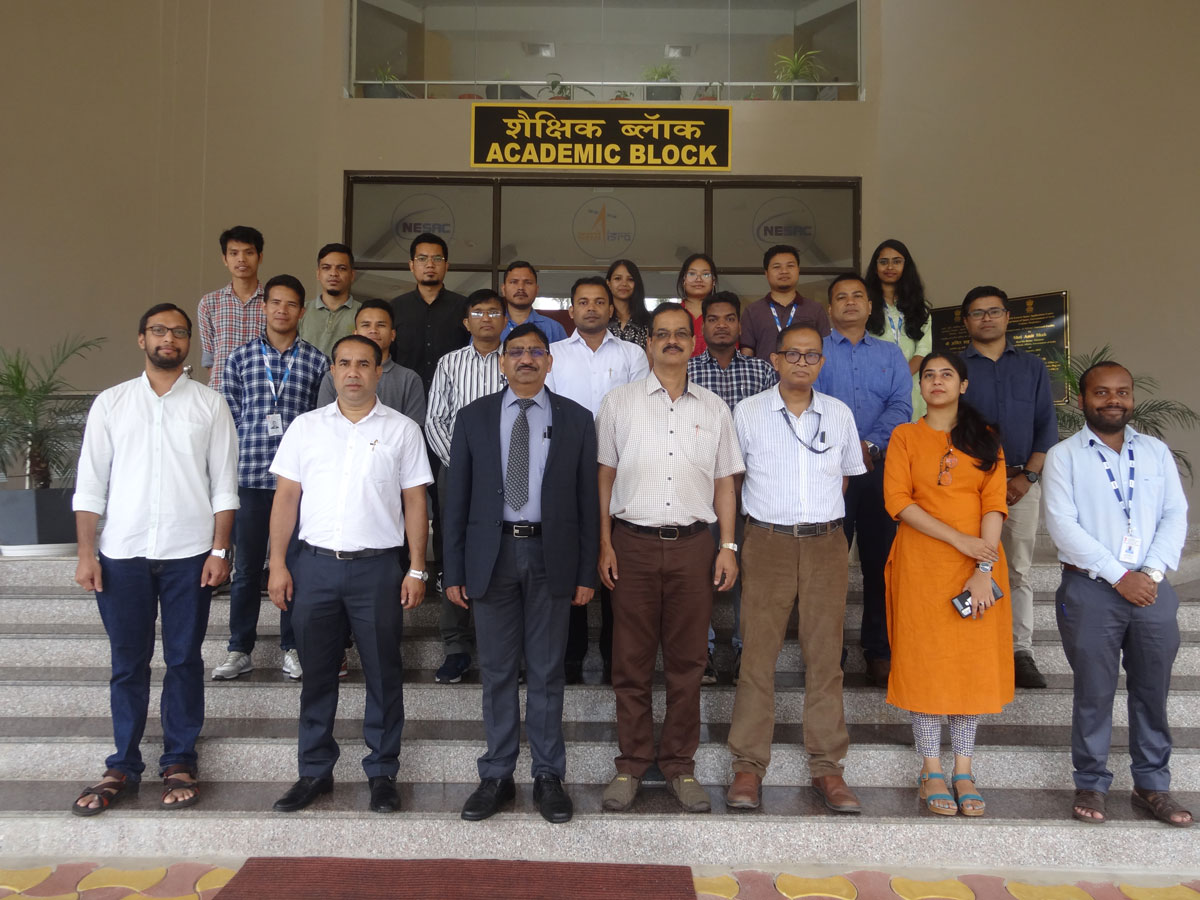
NESAC with its expertise in applications of Space technology and financial support from National Disaster Management Authority (NDMA), conducted a two days training program on “Applications of Geographic Information System in Disaster Risk Mitigation for officials working in the field of disaster Management during 17 -18 August, 2022 at NESAC.
The training course focused on effective use of Remote Sensing and GIS for proper management and monitoring of various disasters. A total of 21 participants from State and Central Government departments/organizations attended the training course.
The program was inaugurated by Dr. S.P. Aggarwal, Director, NESAC. The inauguration started with a welcome address by Dr. K.K. Sarma, Senior Scientist and the Course Director of the program. He thanked the participants for joining the course and also presented the outline of the course contents. Director, NESAC in his address informed about the expertise of NESAC and insisted the participants to take its benefit for applying in their respective field of work. He also thanked NDMA for providing the required fund to conduct the training program. The program ended with a formal vote of thanks proposed by Dr. Arjun B.M., Course Officer.
During the valedictory session on 18th Aug, 2022, participants shared their feedbacks and suggested to include more hands-on exercises and field visits Director NESAC congratulated all the participants on successful completion of the course and distributed the certificates. The program ended with a formal vote of thanks by Dr. Gopal Sharma, Course Officer.


