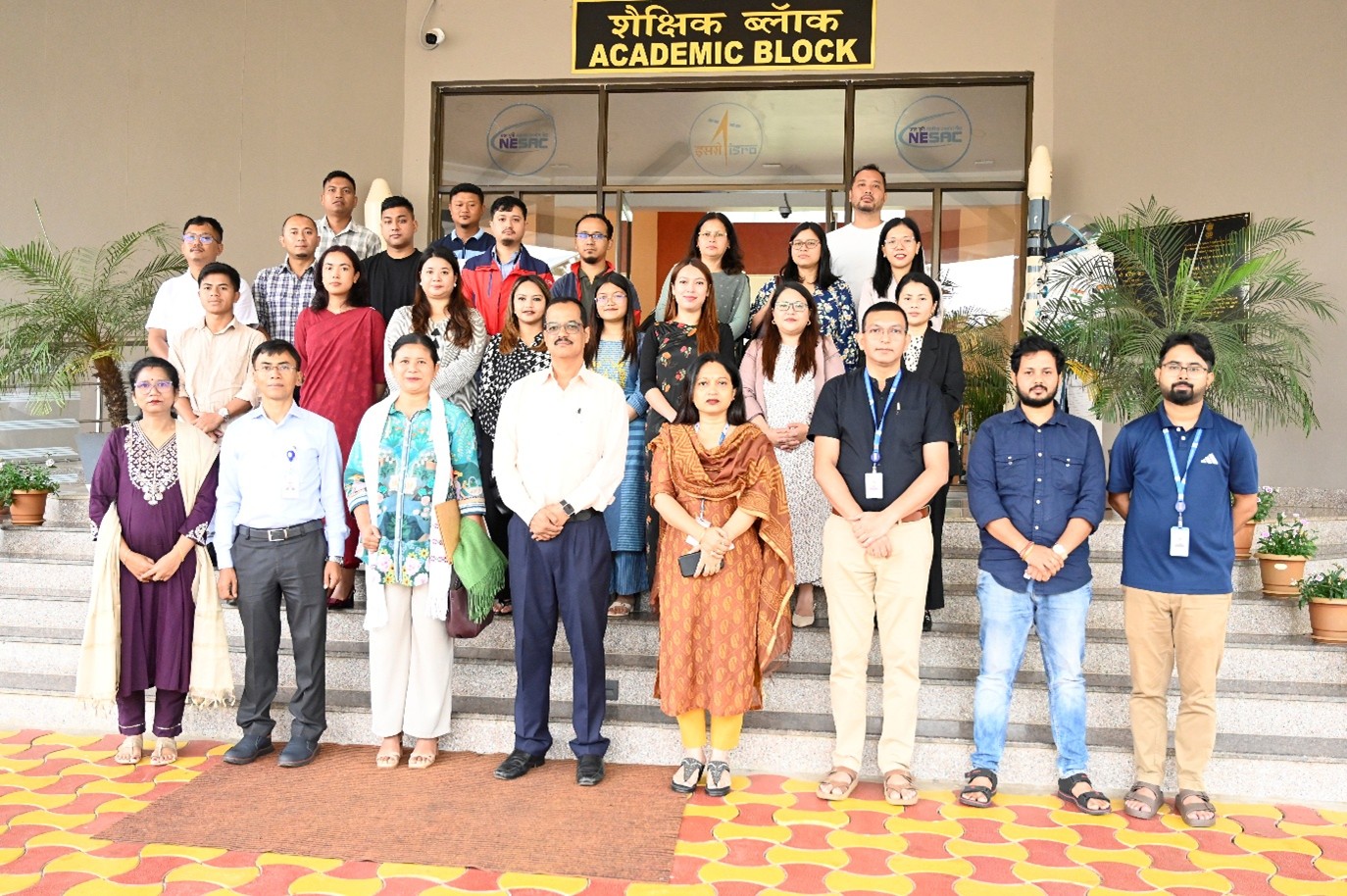
NESAC conducted a two-days curated training programme on “Remote Sensing and GIS in Agriculture” for 24 officials from the Department of Agriculture during 10–11 June 2026. The programme was sponsored by the Meghalaya Agricultural Management and Extension Training Institute (MAMETI), Shillong. The inaugural session on 10th June was graced by Smt. T. M. R. Marak, Director, MAMETI, as the Chief Guest.
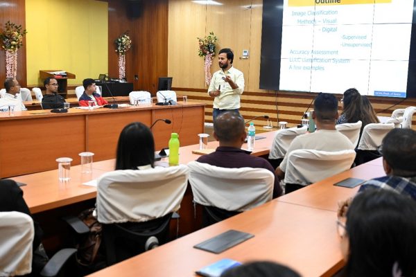
The training provided the participants with an overview of the principles and applications of Remote Sensing and GIS in agriculture, covering topics such as crop monitoring, crop acreage estimation, land use and land cover mapping, crop site-suitability etc. The programme also included hands-on demonstrations and exposure to geospatial tools and ongoing agricultural applications at NESAC.
The programme concluded with a valedictory session graced by Dr. K. K. Sarma, Group Director, RSAG, NESAC that included interactive feedback from participants followed by the distribution of certificates to all participants. Smt. Pratibha Thakuria Das, Scientist/Engineer-SF, served as the Course Director of the training, while Dr. Francis Dutta, Scientist/Engineer-SD, served as the Course Officer.
NESAC conducts Two-Days Training Programme on “Remote Sensing and GIS in Agriculture” for Officials of the Department of Agriculture, Meghalaya