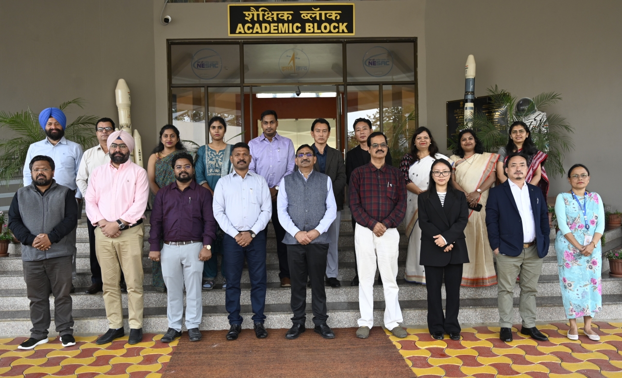
NESAC recently conducted a comprehensive five-days training program designed to equip Tier-1 officials with the expertise required for the Formulation of GIS-Based Master Plans under the AMRUT 2.0 sub-scheme. Held from May 4th to May 8th, 2026, the initiative marks a significant step toward integrating cutting-edge space technology into urban development strategies.
The program served as a collaborative hub, bringing together key decision-makers from state town planning departments, urban local bodies, and development authorities. Participants from Nagaland, Mizoram, Punjab, Arunachal Pradesh, Meghalaya, Maharashtra, Odisha, and the Town and Country Planning Organisation (MoHUA, Delhi) shared insights, fostering a robust exchange of ideas on regional planning challenges.
The sessions were inaugurated with a strategic overview by Dr. Jenita M. Nongkynrih, Head of the Urban and Regional Planning Division at NESAC. The event was honored by the presence of Dr. S. P. Aggarwal, Director of NESAC, who served as the Chief Guest. He underscored the transformative potential of Geo AI, Digital Twins, and space-based technologies in empowering state governments to make data-driven decisions.
Dr. K. K. Sarma, Group Head of the Remote Sensing Application Group, encouraged participants to bridge the gap between planning challenges and technical solutions. A dedicated session on national geospatial initiatives—covering open data portals, mobile applications, and policy frameworks – was led by Shri Monis Khan from the Town & Country Planning Organisation (MoHUA).
The curriculum was meticulously designed to blend theoretical foundations with practical, hands-on applications. Key modules included: Geospatial Fundamentals: Principles of Remote Sensing (RS) and Geographic Information Systems (GIS); Data Acquisition & Analysis: Satellite image interpretation, procurement, and advanced GIS analysis; Modern Surveying: Utilizing UAVs (drones), navigation systems, and mobile applications for data collection and Strategic Planning: Urban sprawl analysis, growth modeling, creation of geodatabases, and the systematic preparation of GIS-based master plans.
The training was delivered by an expert team of NESAC scientists. By combining rigorous lectures with interactive, practical exercises, the Urban and Regional Planning Division ensured that participants benefited with the actionable skills necessary to implement smart, sustainable urban planning initiatives.
NESAC conducts one week Training Program for Decisions Makers under AMRUT 2.0 Sub-scheme
Recent News
NESAC conducts two weeks short course on “Advanced Geospatial Technologies for Smart Agriculture"